Beara way
I walked the Beara way a couple weeks back. I found it a big tough trip, but well worth doing. Tough soles have it as one of their favorite trails.
I walked it in a counter clockwise direction, starting and ending in Glengarriff. I attempted to camp as much as possible, only staying indoors for 2 nights. My thinking was that if I was going to need to take the tent, I might as well get as much use out of it as possible.
This is a trail where you need boots.
Day 0
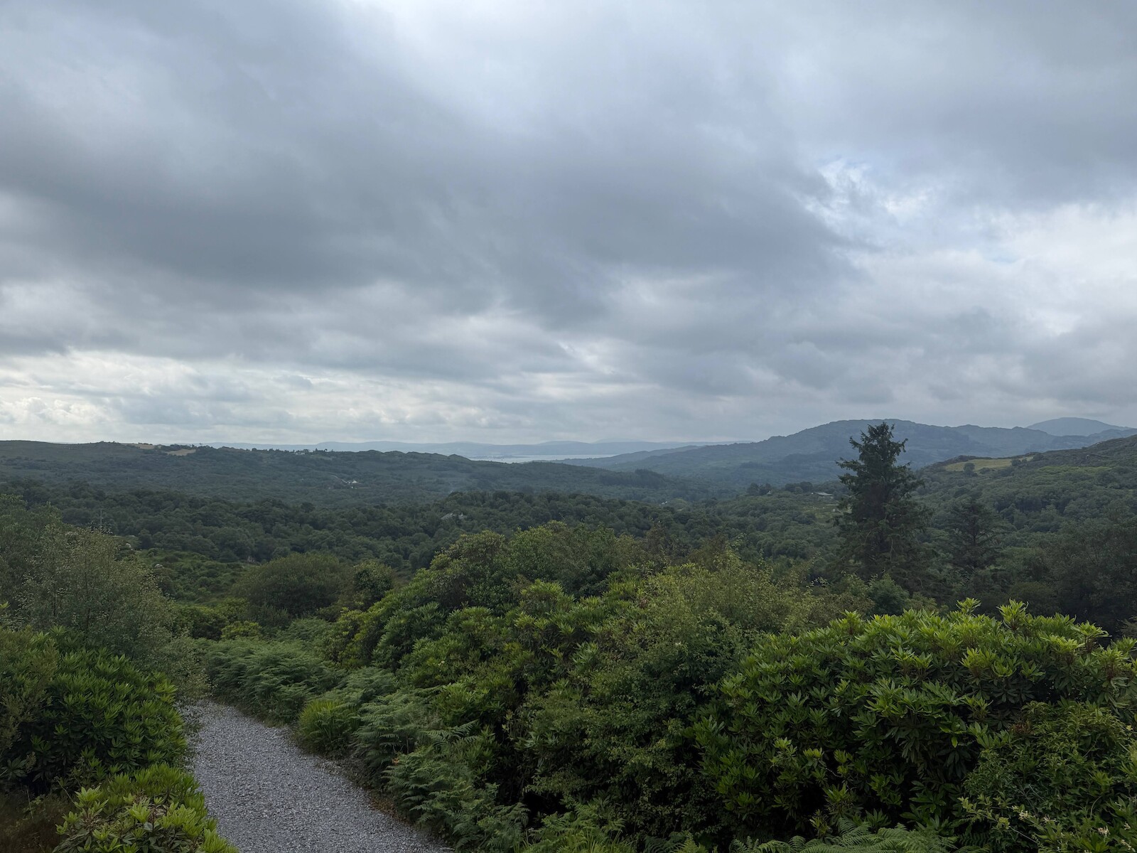
I drove down to Glengarriff on the hottest day of the year. This had the nicest weather and I was sorry to spend in a car. The one question I had was where to leave the car for the week. I ended up leaving it in Casey’s hotel car park. I asked them first, and had stayed there. Glengarriff is a nice little town. I did not find a campsite in Glengarriff itself.
Day 1 Glengarriff to Lauragh
This was a big day (40k) and fair tired me out. If I was to do it again, I would look at more options splitting this day up - perhaps going to Kenmare or going to Tuoist.
Looking back on Glengarriff
There are two stretches on the N71 - coming out of Glengarriff to the nature reserve, and later around Bonane. Both of these lack pavements, but both of these were actually fine for traffic.
A lot of the day (20k+) is on boreens. These are fine for walking in general, very quiet etc. However, in Drombane every house has a dog, resulting in much barking as I strolled along.
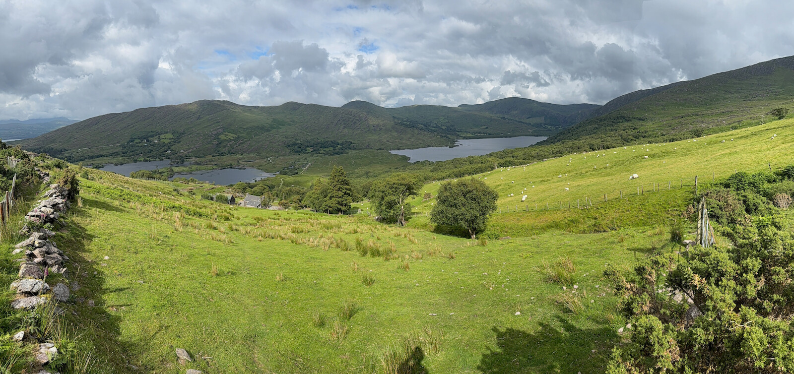
This is a very scenic day. There are the trees of Glengarriff nature reserve, then views back down to the south, and later in Urgh and beyond. It is steep and boggy around Feorus East. This was also the first encounter with cows, which resulted in a long, off trail diversion. There is a stone circle in Urgh, and the valley is pretty.
I camped at Creveen Lodge campsite, was very nice. I got the tent up just before it started to pour down.
There is a wine bar in Lauragh that looks very nice and does food, would suggest it for dinner.
Day 2 Lauragh to Eyeries
This starts on the road out of Lauragh, but this is very quiet. The path turns off the road and becomes muddy and craggy. There are fine views. I was going slow due to being tired from the previous day. I had hoped to get lunch in the pub in Ardgoom, but no lunch, just a pint. I bought some lunch from the spar. After Ardgoom, there is a nice part near the coast, then later I got lost in the bracken. The final part into Eyeries is along the coast and is very nice. I was fairly foot sore at this point. There was no dinner in Eyeries, but I did go to the pub. There was no campsite (which I knew ahead of time) and so I had booked a b&b.
 .
.
Day 3: Eyeries to Alihies
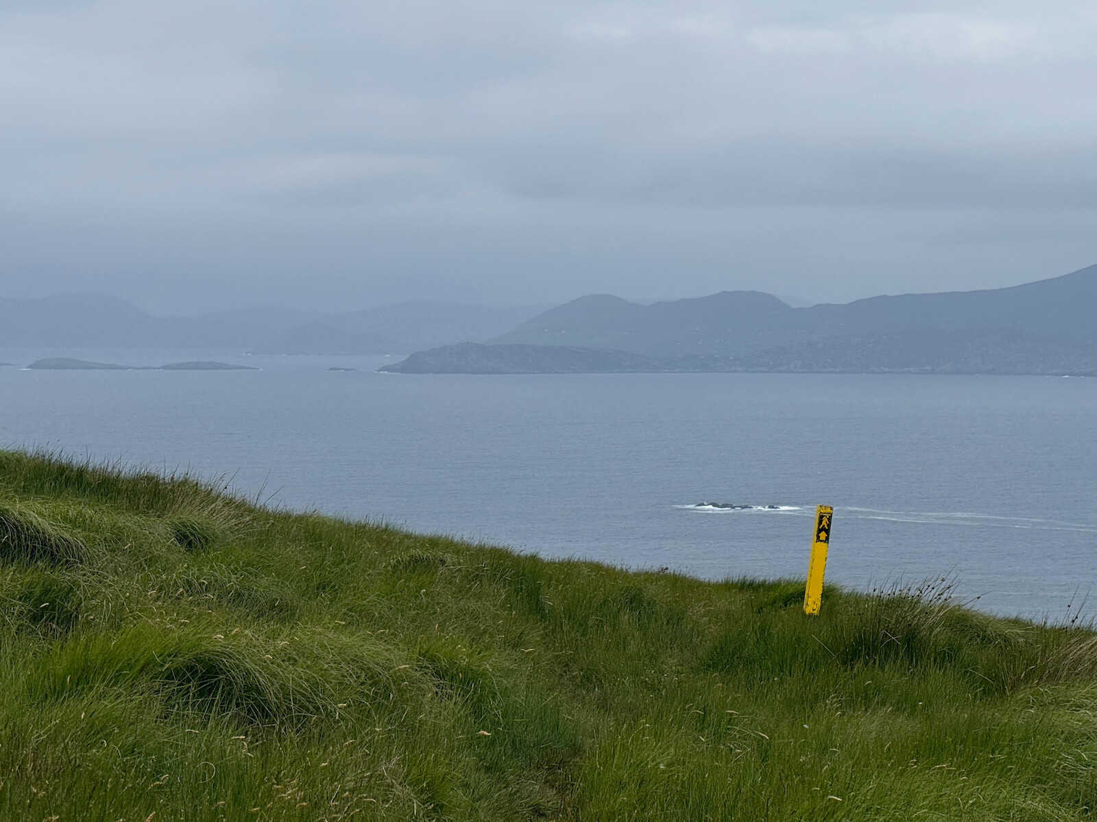
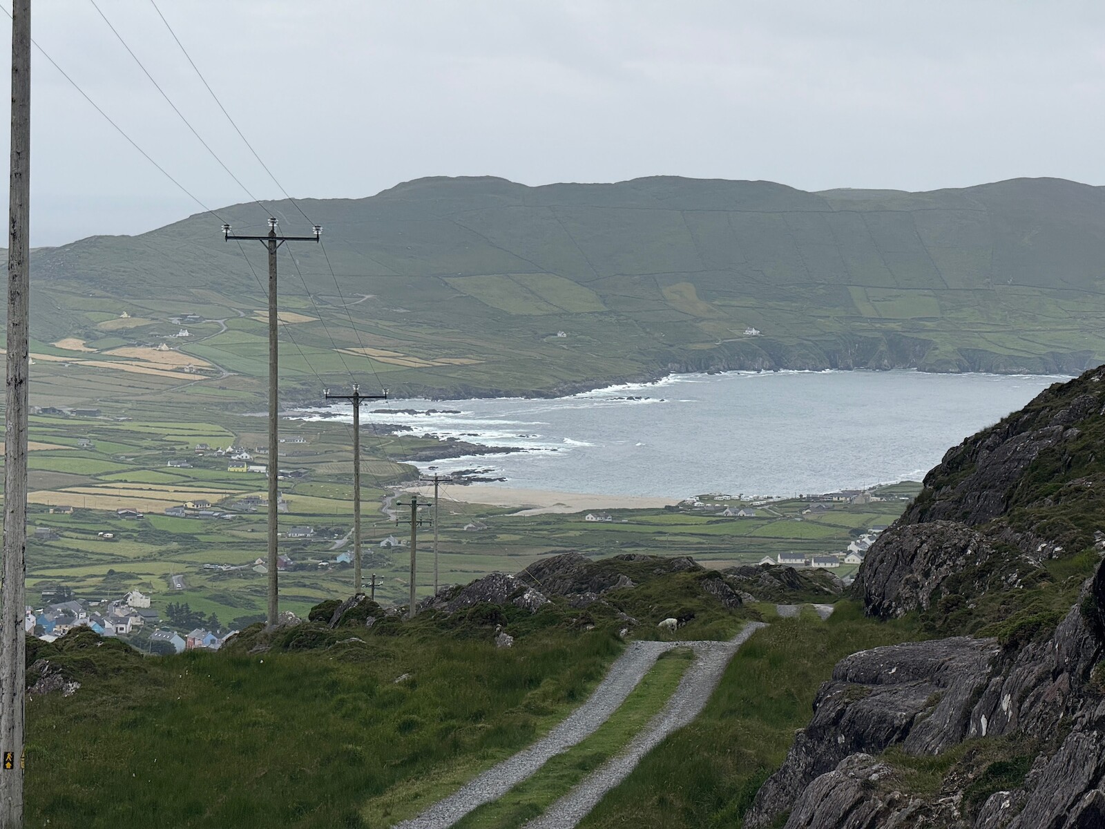
I had picked up a limp, but made reasonable progress despite it. The route goes over a pass to Alihies, but first it bears left, up the hill and along. It is pretty pleasant. I didn’t realize until day 5 that it comes quite close to the route to CastletownBere. I saw butterflies close to the sea. The road down from the pass is long, and has a branch off to the sea. I was pretty tired and didn’t know where the branch would turn out. I would take it if doing the walk again. The route down runs past the old mine.
 .
.
I stayed in the campsite in Alihies for two nights, and ate at the pub for two nights. The pub food is great. There is also a shop.
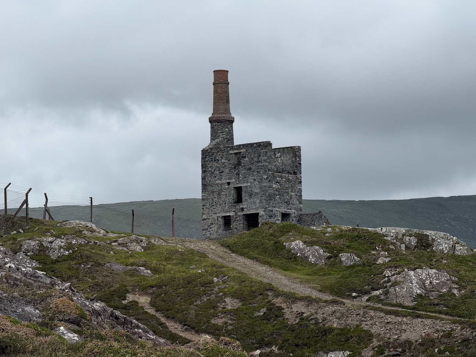
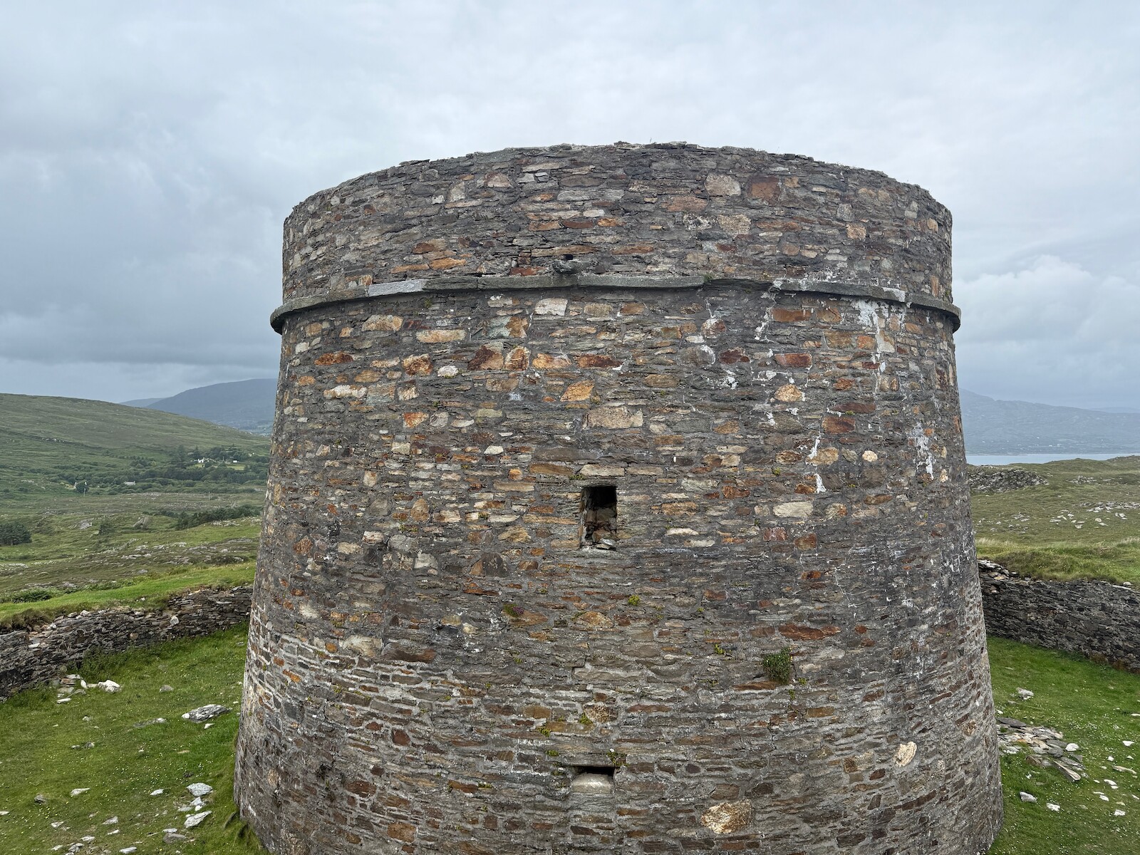
Mine tower
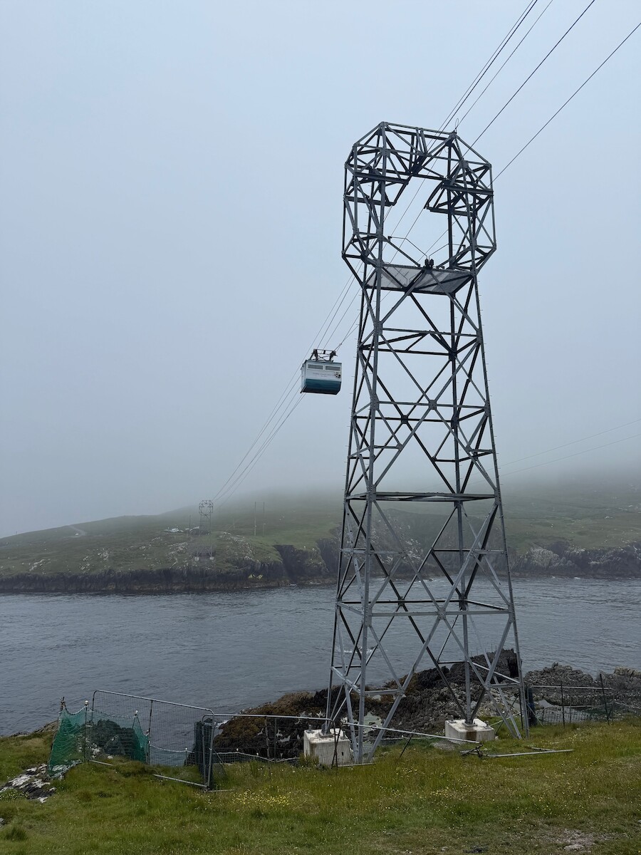
Day 4: Dursey Island
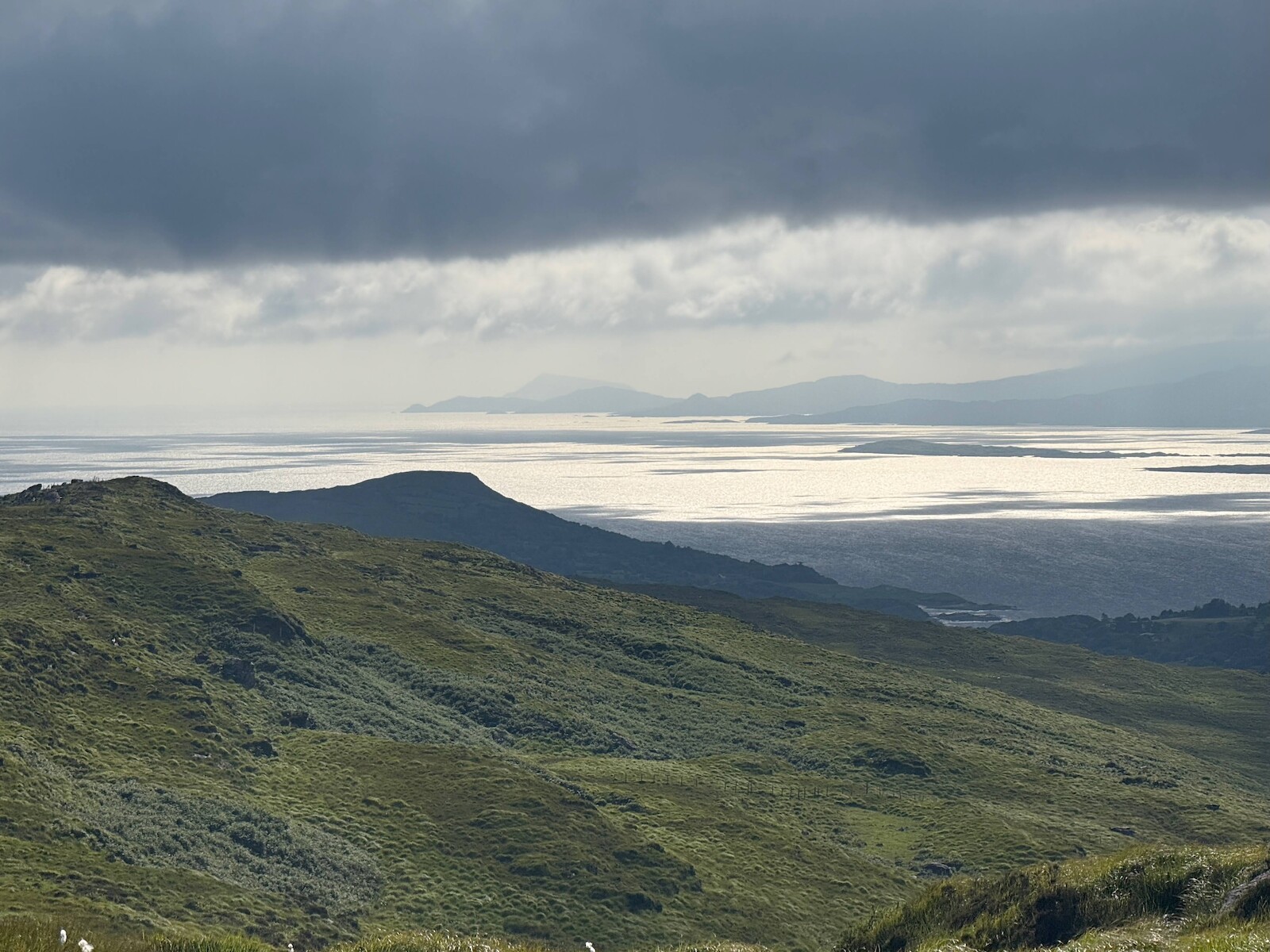
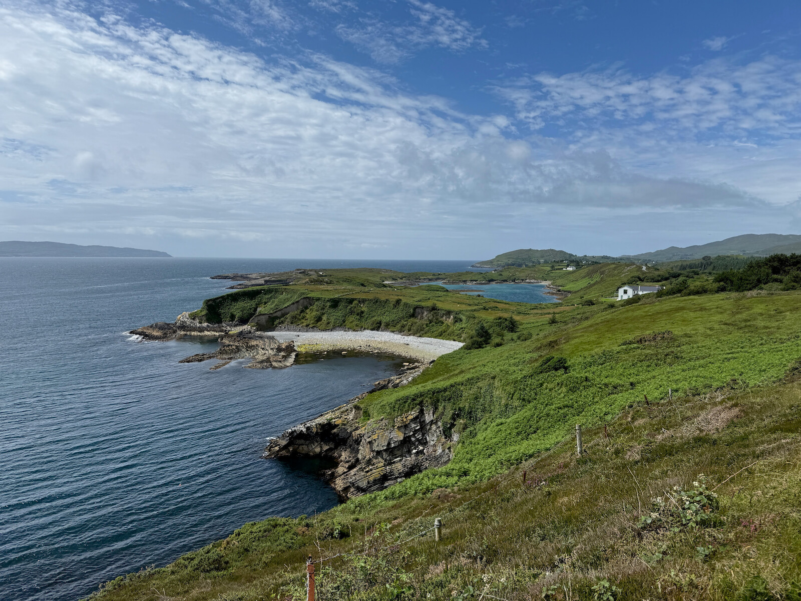
I left the tent up and walked from Alihies to Dursey Island via the cable car. This was a miserable day for the weather, with the clouds down and covering most of the island. I didn’t get all the way to the end of the Island, getting as far as the Erie sign. The walk out is very nice, and would be nicer in good weather. There are several nice beaches.
I went to the fish and chip van at the cable car, but its not great. I took the bus back to Alihies.
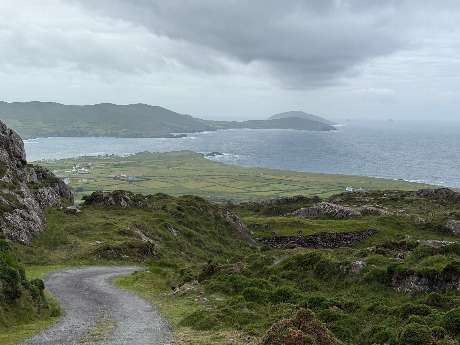
View of Dursey Island (taken previous day)
Can just see the tower I got to.
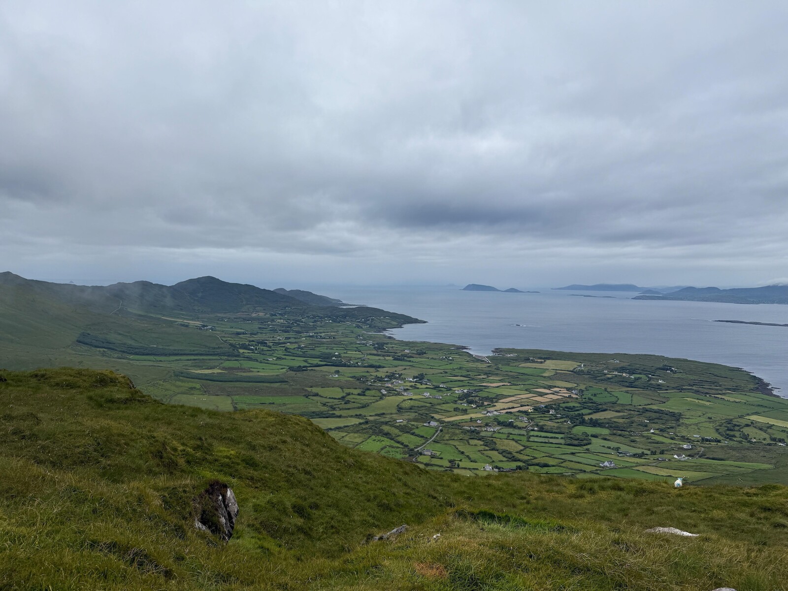
Day 5: Castletownbere.
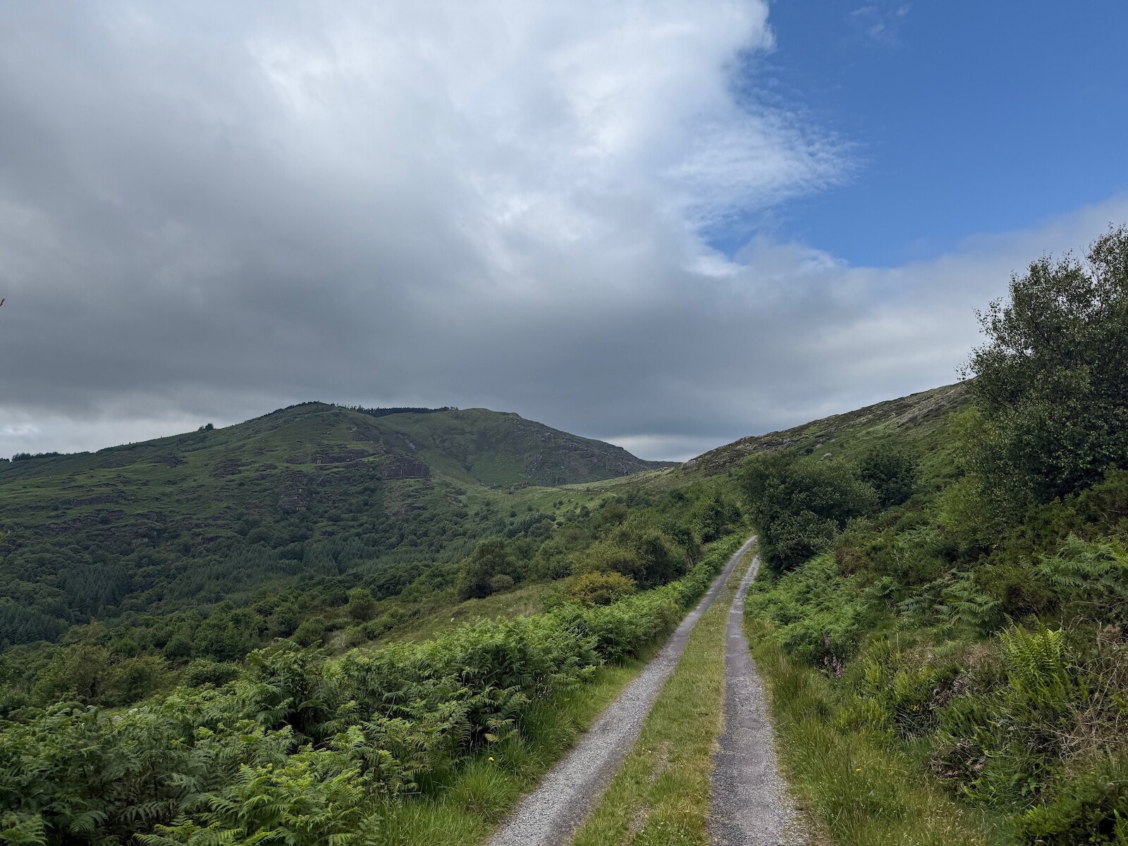
I had worried about this day, having been fair whacked and limping from the first couple of days. However, it went fine. There is a long slow pull over the hill to the other side of the peninsula, on a very quiet road. The top was in cloud, and I found myself in a coilte forest (the first plantation of this trip - such a change from the Sieve blooms or Wicklow). I expected a slow amble down to Castletownbere, but the route turns right back up the hill again. This have great views back to Eyeries and to the north. I popped up Miskish for the view.
Looking back
 .
.
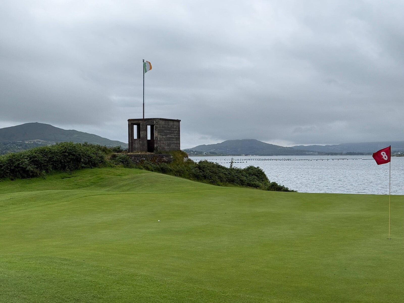
Once I had seen the view, there is a long slow desent over the bog and boreen to Castletownbere. The town has everything, but I only stopped for a late lunch and a postcard. There is a stone circle before the town. However, when I got to it there were people meditating in it. I walked out of castledown bere to the golf club, where I camped for two nights.
You can camp on Bere Island. If I had known this I would have camped there. Camping at the golf course was fine, however, you need one euro coins for the shower and I didn’t have any. There was no one around when I was there.
Golf course camping
The sentry box is left over from WW2.
 .
.
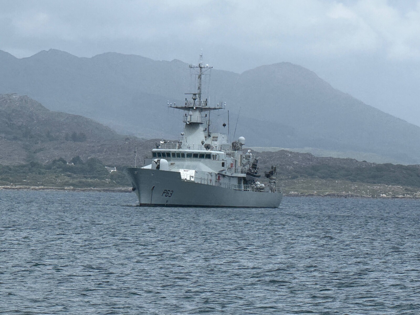
Day 6: Bere Island
I didn’t do the full loop of the island. I took the boat from the pontoon next to the campsite. Its worth checking when the ferry goes, because I ended up waiting an hour. I walked out to the fort at the east end, then up to the Martello tower. It was a lovely day in the sun, and in general a rest before the next two days.
In the bay there was the LÉ William Butler Yeats which was a surprise - it is rare to see the DF out.
out to sea
Day 7: Adrigole.
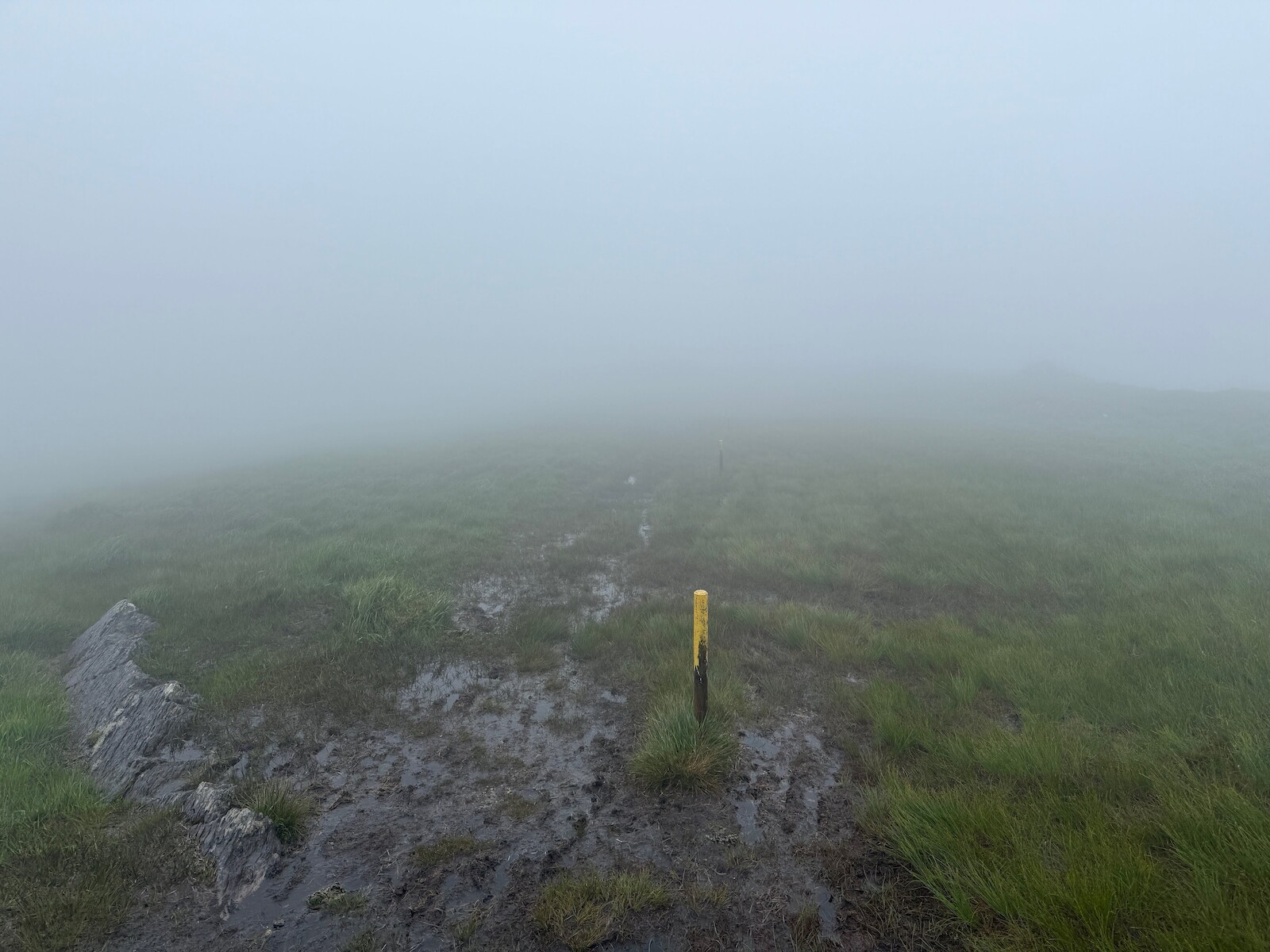
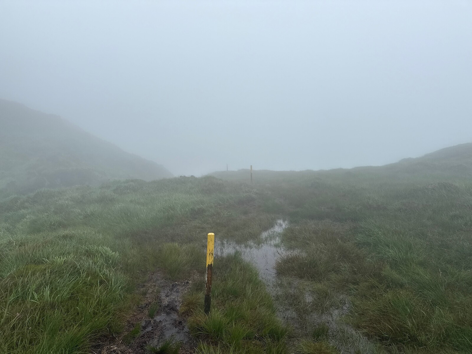
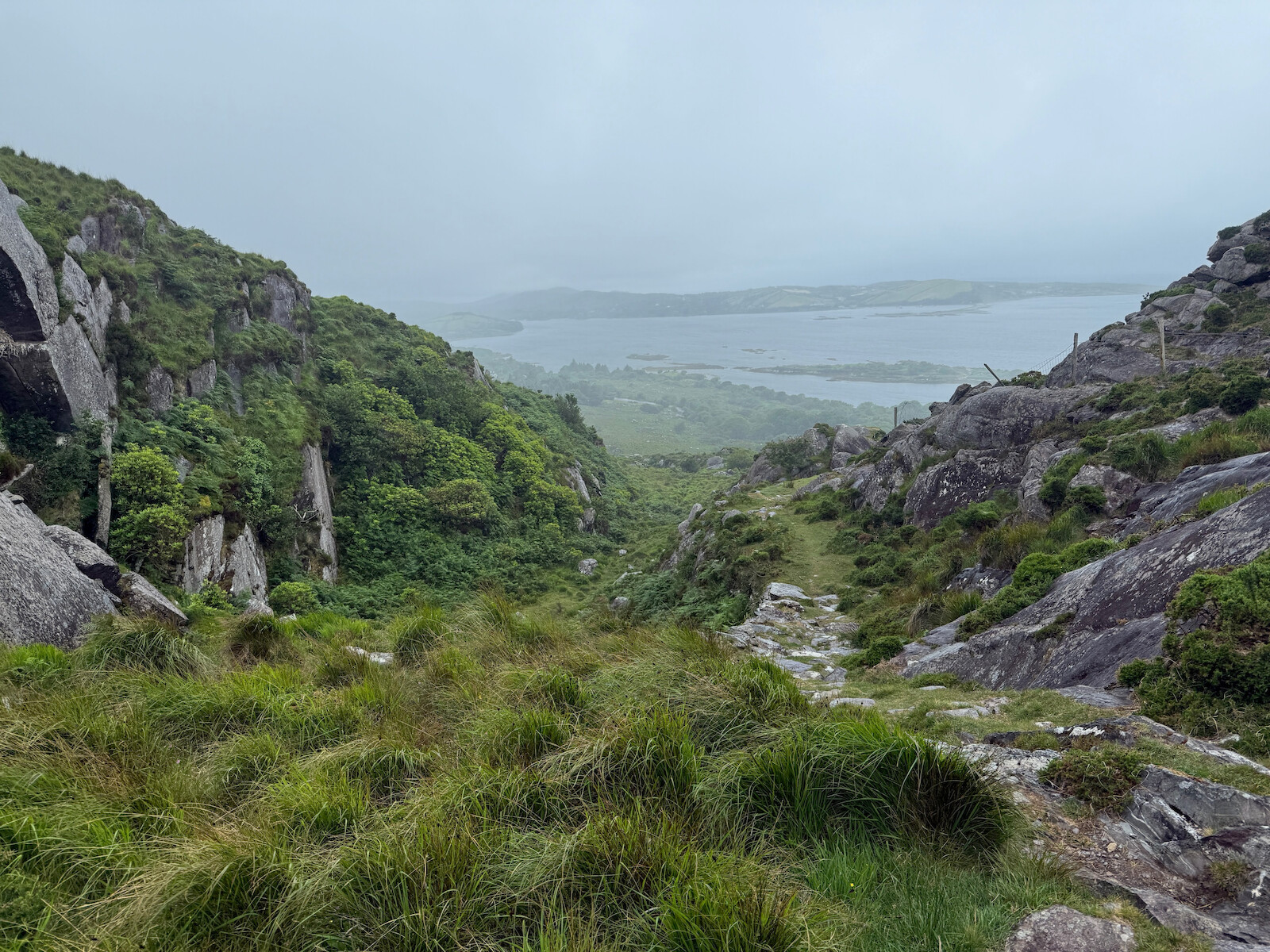
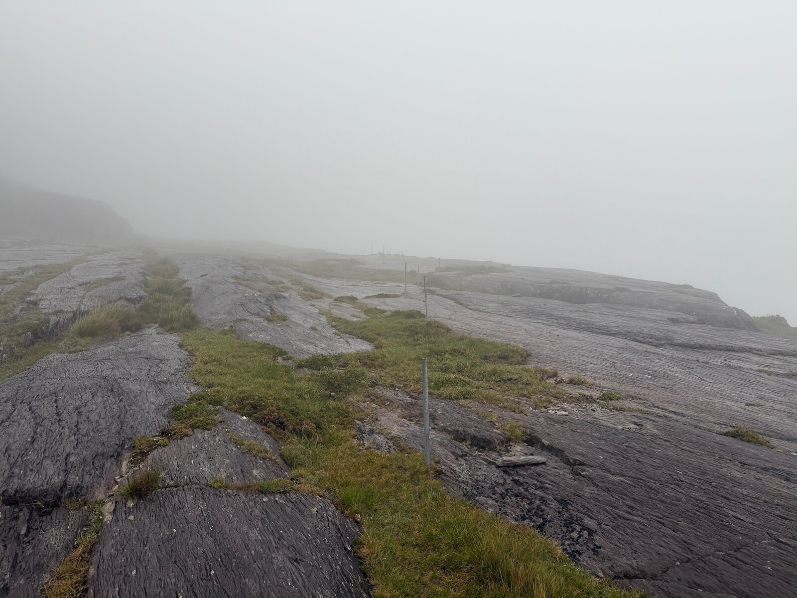
I awoke to rain and the knowledge this was a big day. I headed up towards Castletownbere to pick up the trail, then spent all day in the rain and mist. Lots of this in in the bog, boots etc were needed. There was also more cow dodging. Crossing the open rock was actually fine. This day has a long bit on the road at the end, but the road is very wide and everyone gives you space.
I stayed in the hungry hill campsite. I had the last of the camping food, but I didn’t need to bother. There is both a shop a little up the road and a onsite burger van. During the night a bird got into my last packet of oakcakes. This is a great campsite, would recommend.
Day 8: back to Glengarriff
This day opened with a short section on the road, but the road is both busy and narrow. This was the only section of road that I felt was unsafe. However, the trail quickly turned off, and became tracks and quiet roads again.
The bulk of this day is spent passing Nareera. This was all in the bog and rain for me, resulting in standing at a post, looking into the mist to try to spot the next post. However, with the bag as light as it was going to be, this was not too hard. There is a long slow descent into Coomarkone, and then road to the top of the Glengariff woods. I had pizza when done :).