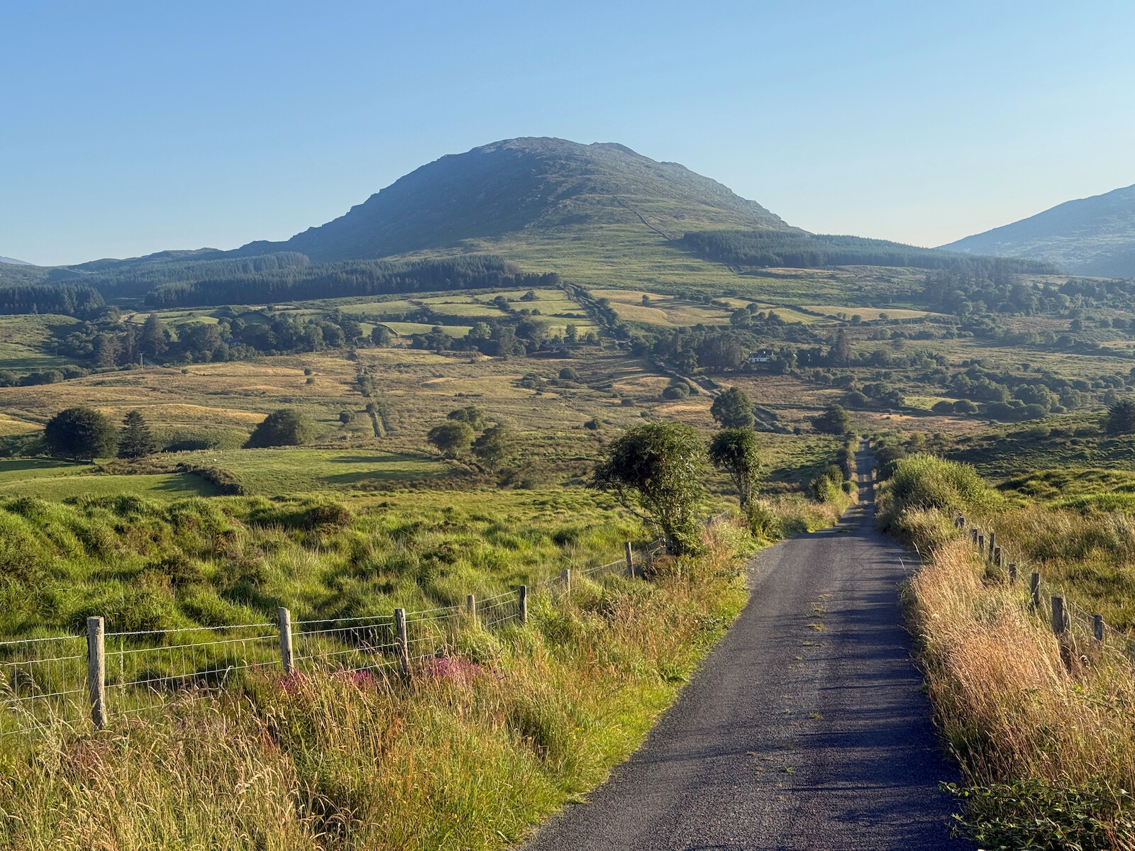
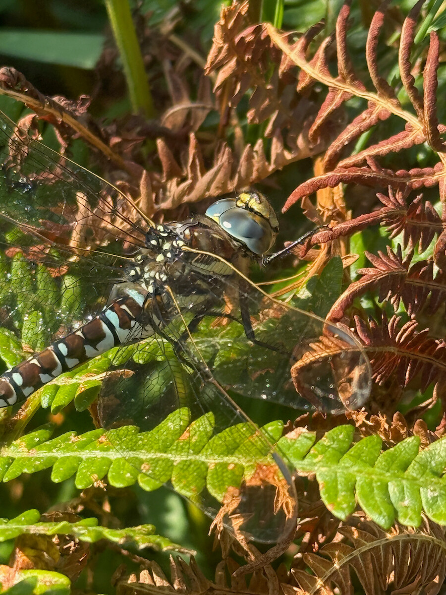
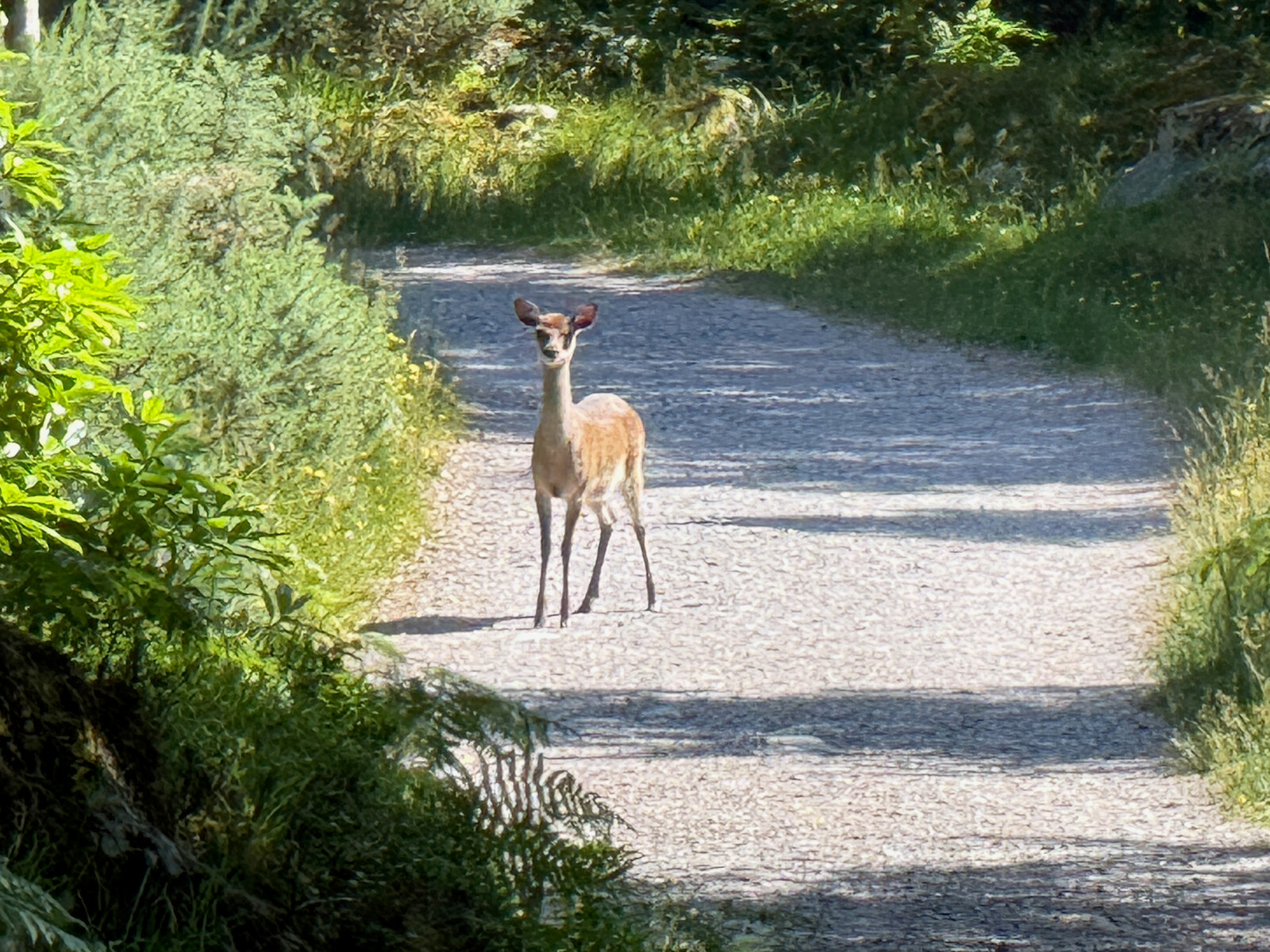
I walked the Kerry way this month. I would recommend it. The weather was lovely (unusual) and a good time was had. There are photos.
Logistics
Some of my planning process. Feel free to skip.
Boots
I choose to wear my boots, unlike the Barrow way where I wore runners. This chose to be the right choice, even with the sun. There’s enough rough terrain and bog.
Accommodation
I considered camping, but went with B&Bs and hostels. There’s clearly spots where people are camping and I met campers, but there’s also a lot of places where it is clearly discouraged. I’d suggest sticking with accommodation without doing a ton of recon. However, I found that the B&Bs weren’t that good, and I was either better off getting a hotel (10 extra, but better breakfast) or a hostel.
The black valley is the hardest place to find a place to stay, and I ended up building the trip around a booking there. One issue is that lots of the accommodation is booked up by hiking tours that do all the logistics and bag carrying for you.
I found myself talking to folks in these hiking tours and the folks running the b and b. Some of them were having a lovely time and a german couple suggested going over Caher. Others were having a terrible time and fighting with the B and B staff. The food wasn’t great in any of these places. I was pleased to get into more normal B and Bs later.
Nav
I used open street map again. This time, I got claude to make a KML file of the route and where I was to stay each day. This worked out pretty good.
Parking.
Killarney is a terrible place to park. I ended up parking at the station for a week, and the car getting covered in debris from birds in a tree. If I was to do it again, I would get the train.
Day 1 — Thu 9 Jul — Killarney → Black Valley
Firstly, there’s no real start! The line on the map starts in a car park. There’s no info board until out of Killarney.
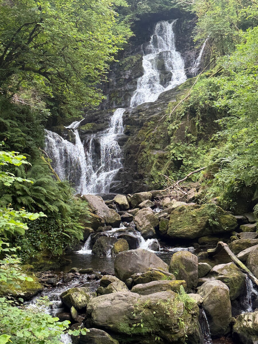
The national park is very nice. Its good they aren’t cutting all the grass, good for the insects. Once past Torc waterfall, there’s very few people. At the end of the park there’s a tea room, would be good spot for lunch.
 .
.
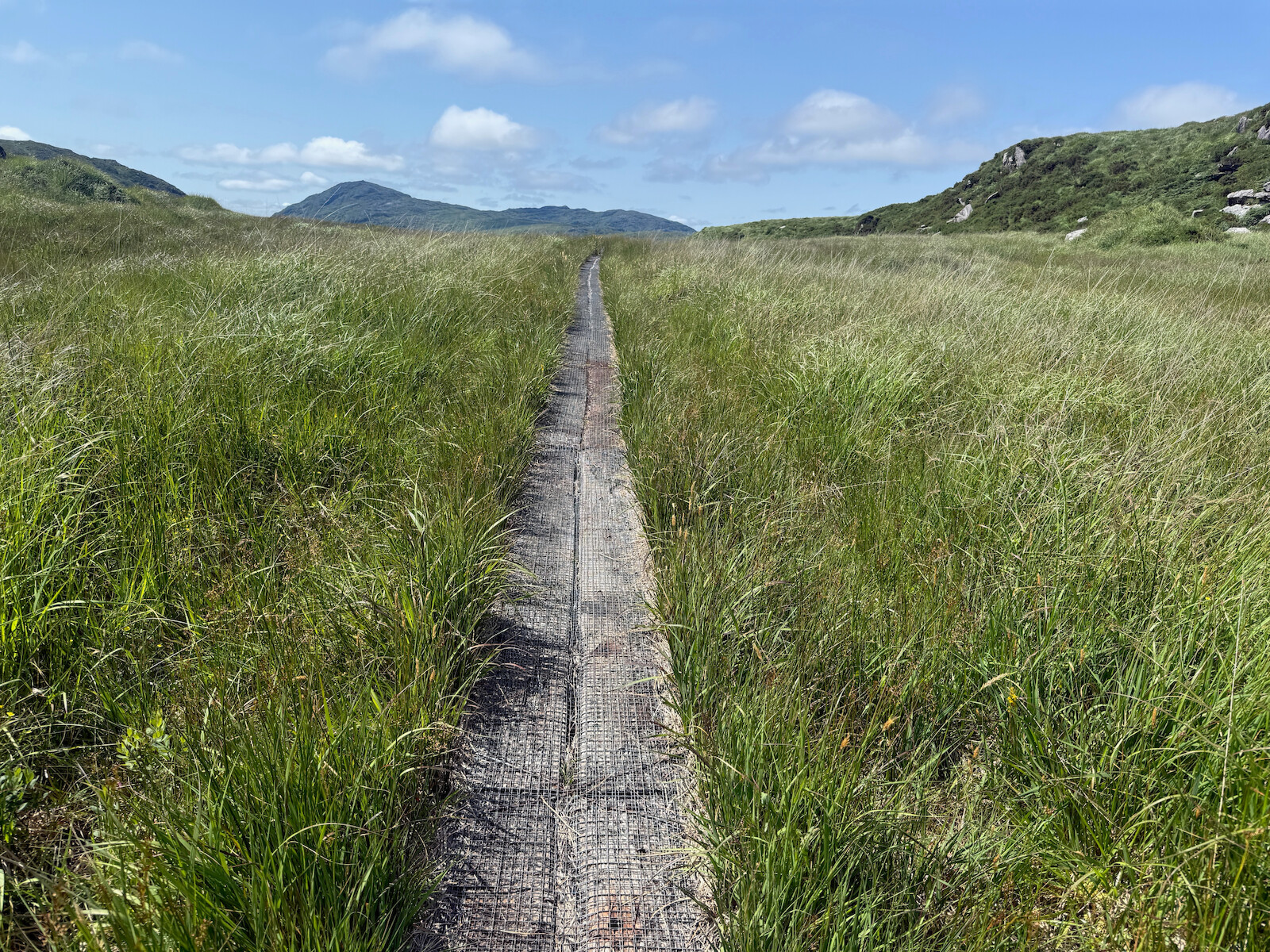
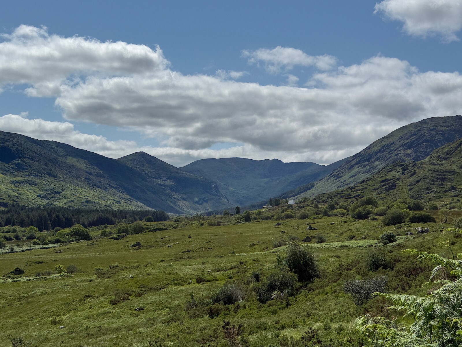
I walked up the black valley and stayed in a B and B. Finding a place to stay was a problem here - there are only B and Bs, often get booked up, etc. You could camp, but there’s no campsites. I was finished by 3:30 and swam in the river.
Day 2 — Fri 10 Jul — Black Valley → Glencar
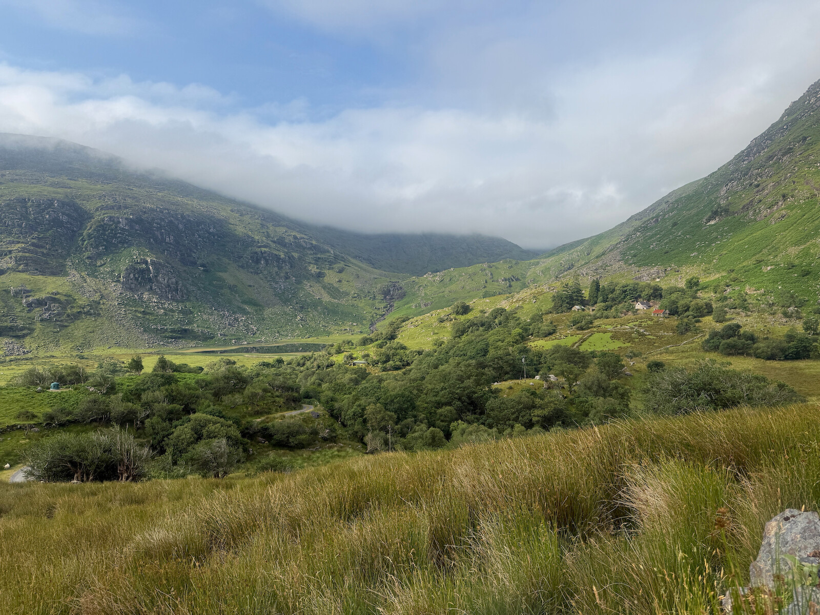
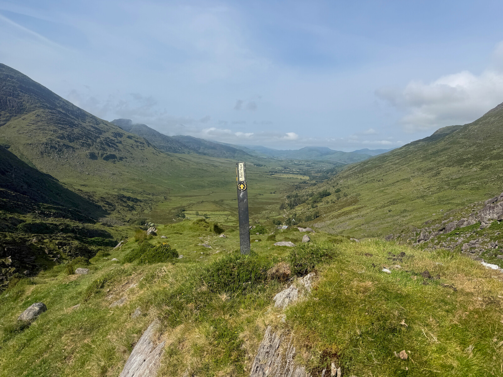
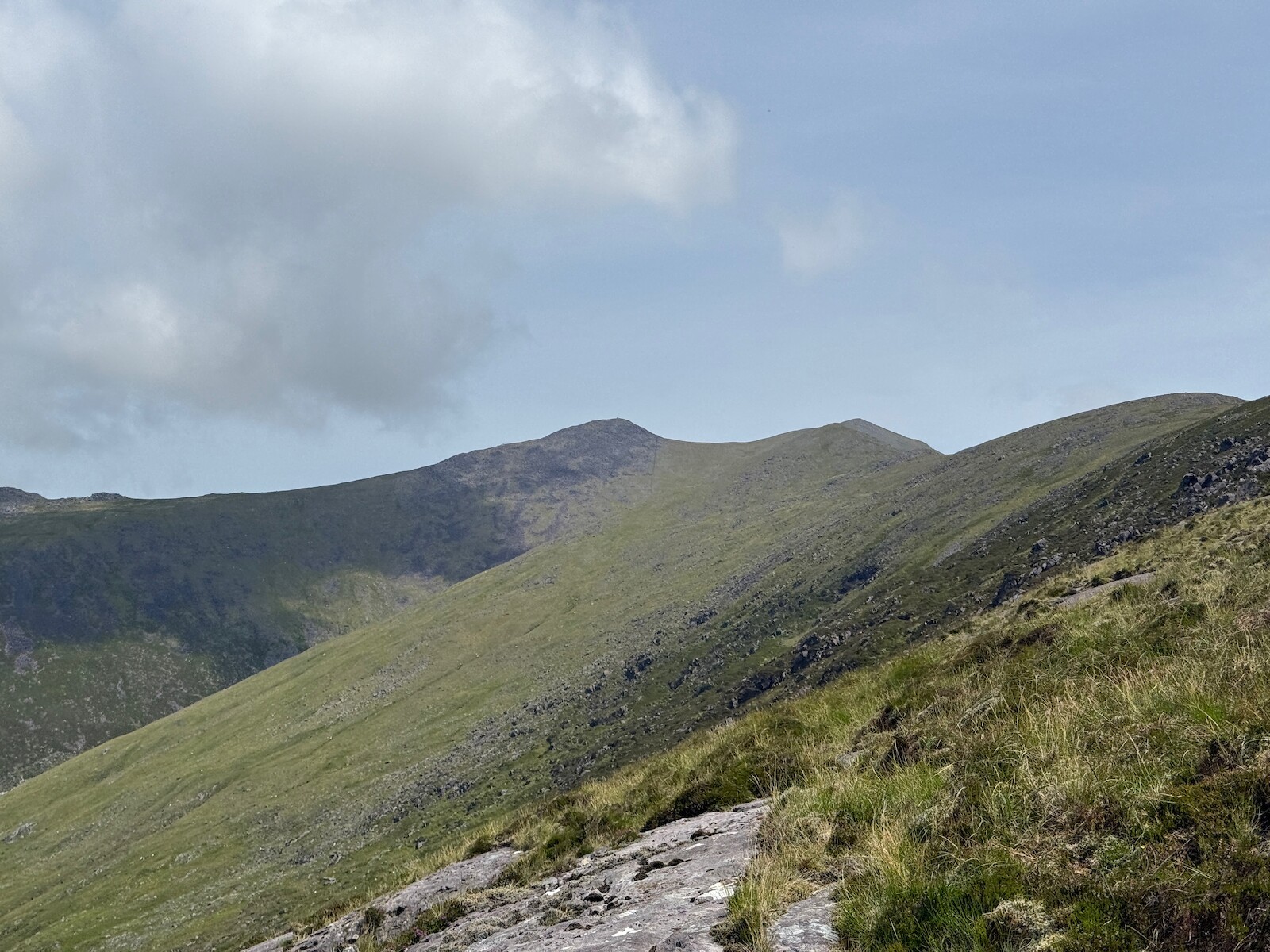
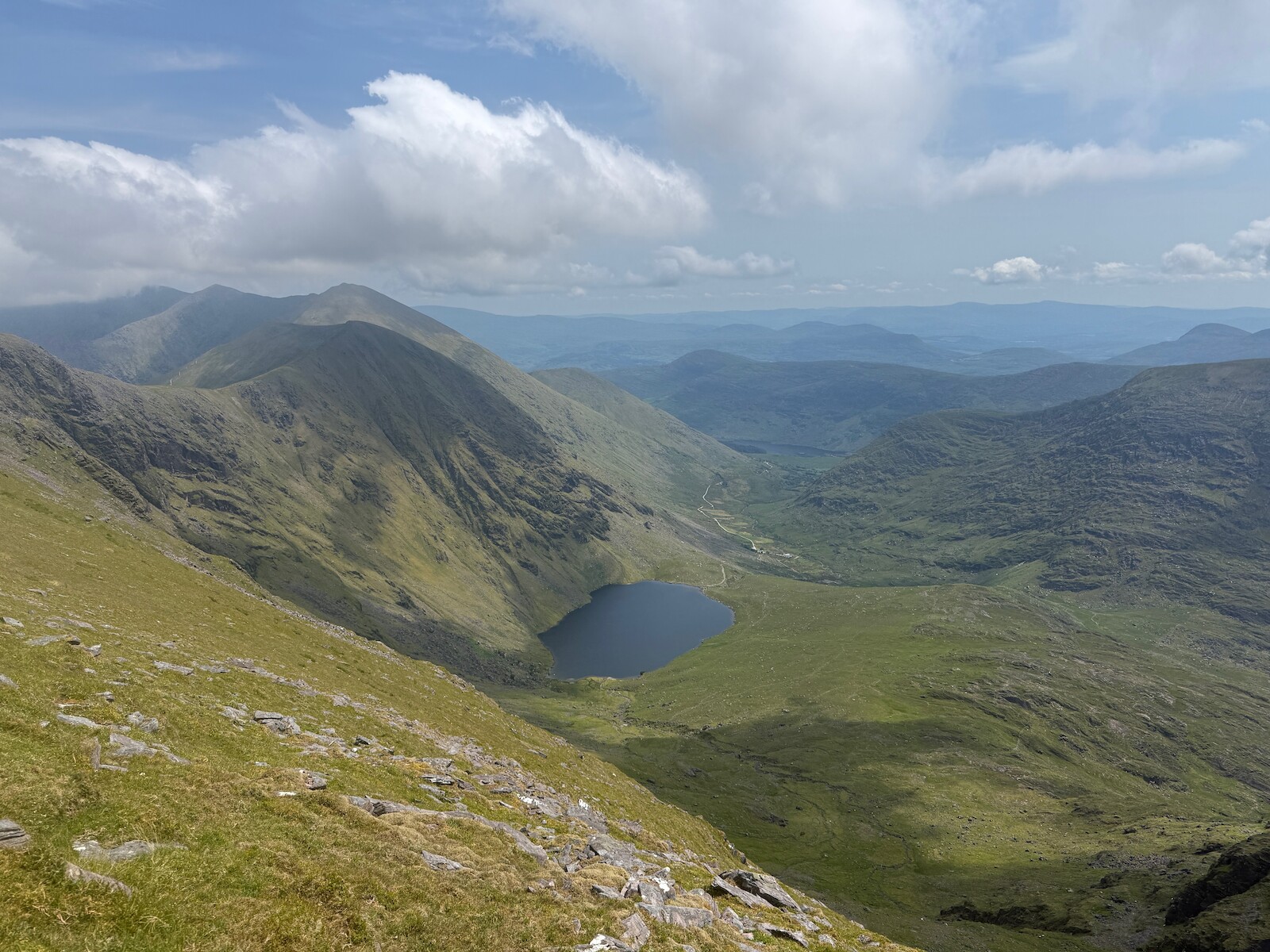
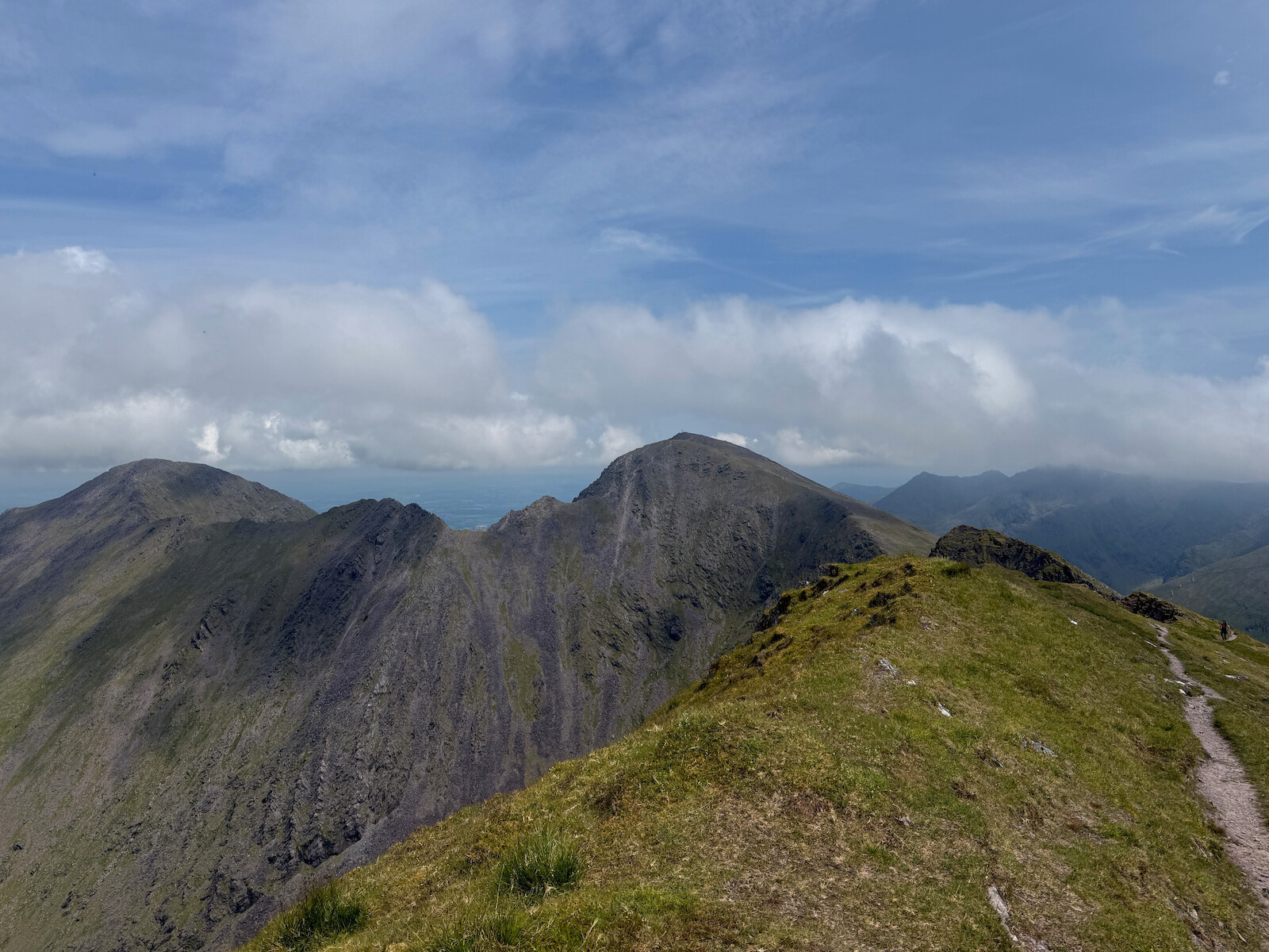
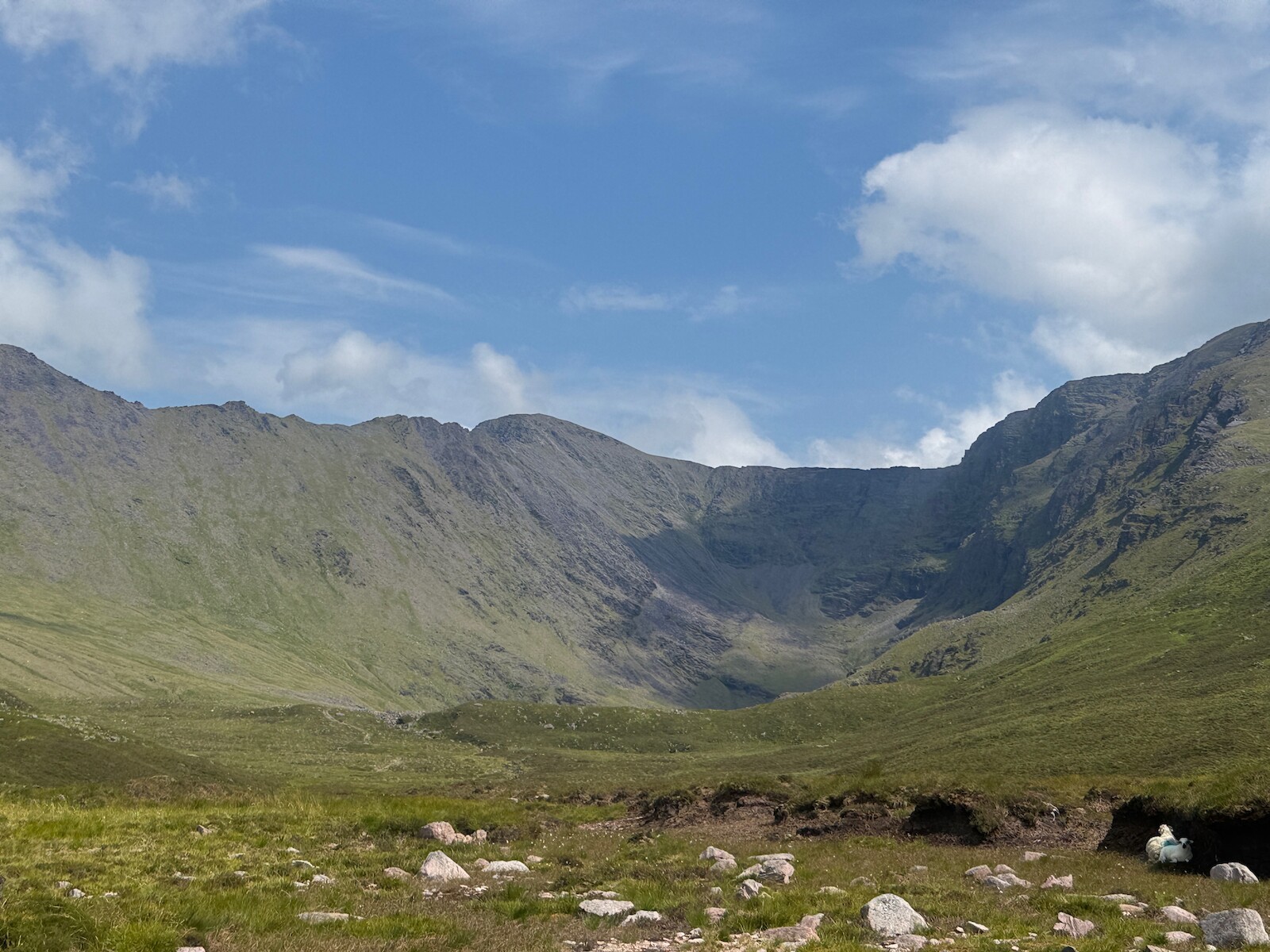
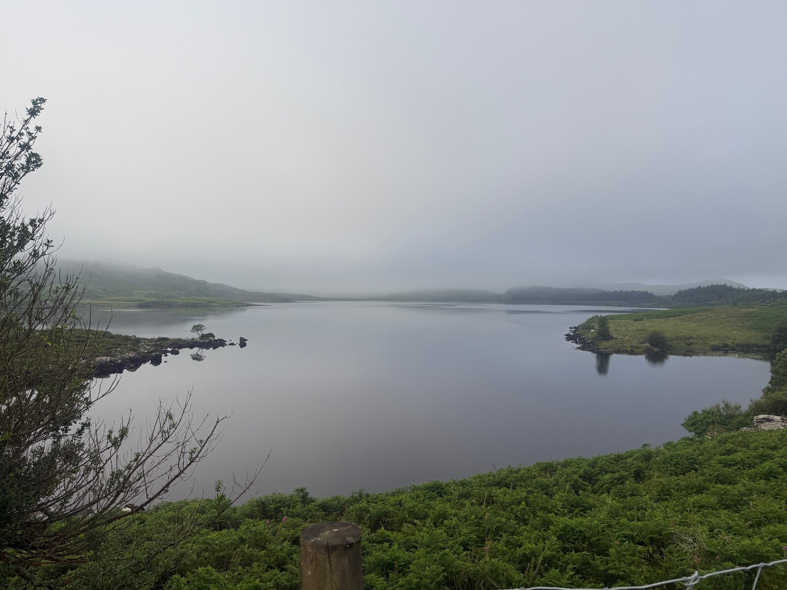
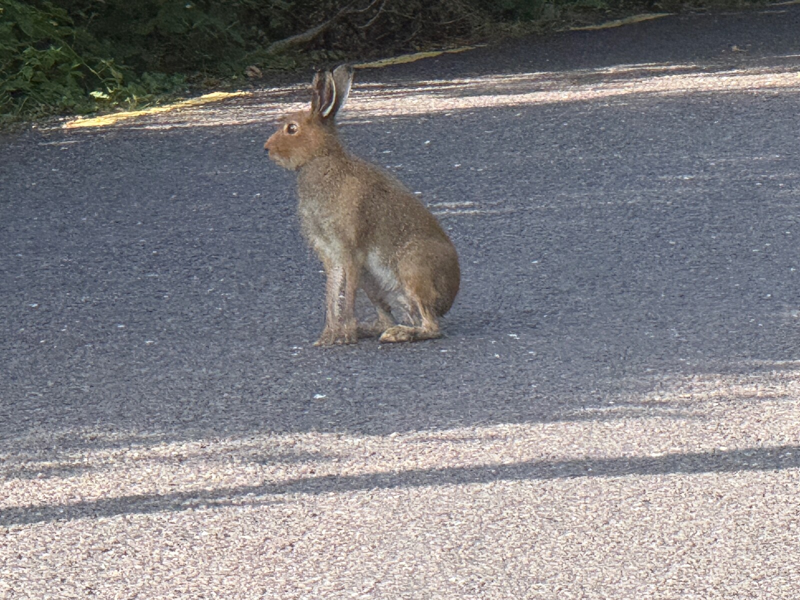
This was a great day. I set off up the valley, seeing a Osprey and a mountain goat. Its a lovely valley and you can stay at the top. There is some time on roads on this day, but they are very quiet. There is the Cooky monsters cafe, but it isn’t open. At the top of the Lack road, I turned up Caher. It was a lovely day to go over the top. Folks at the B and B followed the normal route and swam in the rover. Coming down off Caher took a while, but you can paddle and get water at the Hydro.
I stayed at Lough Acoose House, pretty nice. You could also stay at the climbers lodge. You could also camp under Caher by the river.
Caher:
Day 3 — Sat 11 Jul — Glencar → Glenbeigh
I was a bit worried about this day because it is both short and on road. However, both these worries proved moot. Staying at Lough Acoose House added a bit more distance, and a combination of a prompt start and the local marathon kept traffic down. After a few km the way turns off the road into farming tracks. I recall this as a tough day after Caher, but I think it was just Caher. There is a fine view from the ridge just before Glenbeigh.
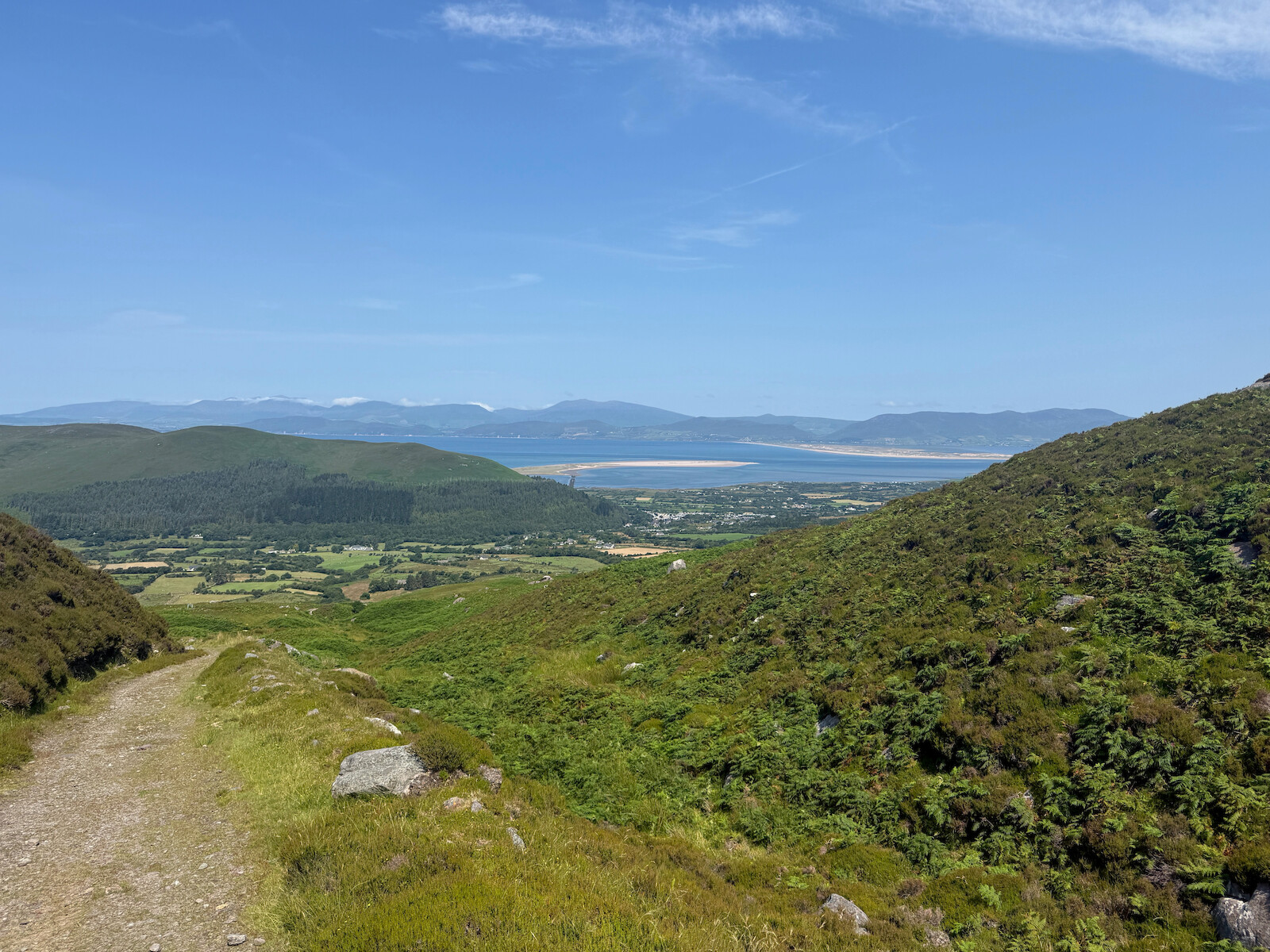
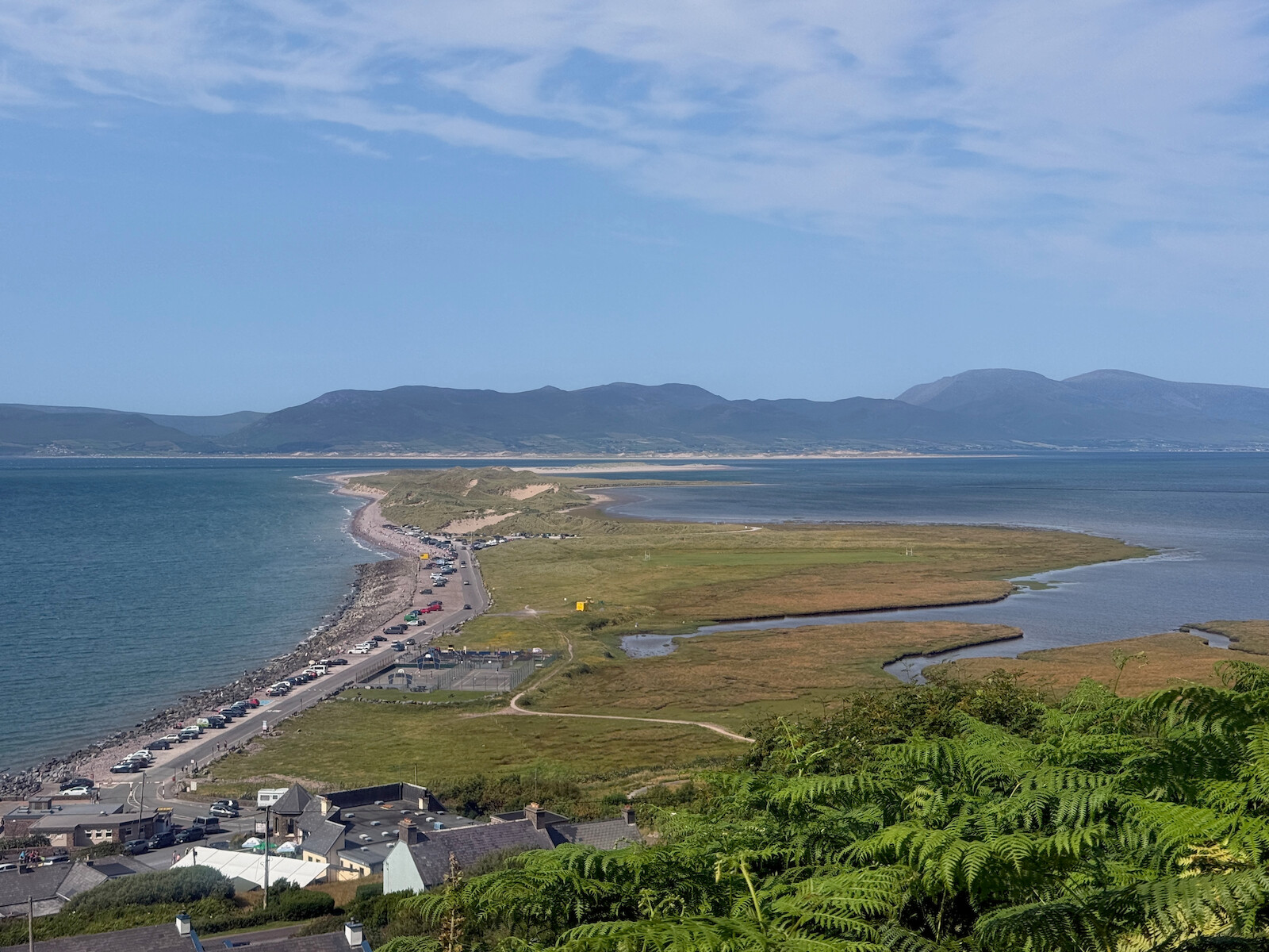
Glenbeigh turned out to bw having a festival, so I ended up getting to bed at near on 1am. excellent. There’s also a lovely beach for swimming at - Rossbeigh beach - and you can get there on a track, not by walking the whole road. I broke a flip flop while swimming and had to repair it with a needle and thread.
Day 4 — Sun 12 Jul — Glenbeigh → Dromid
This was the toughest day. Normally one might stay at the Fransal house b and b around the turn south, but I pressed on to Dromid. A late start and a hot day didn’t help. I also ran out of water, and there was no supply (even with the filter etc).
However, there was much to like. Heading west it is wood, quiet road, and a little bit of the new Greenway. There is a section on the old road on a steep hillside that was very pretty with the turquoise below.
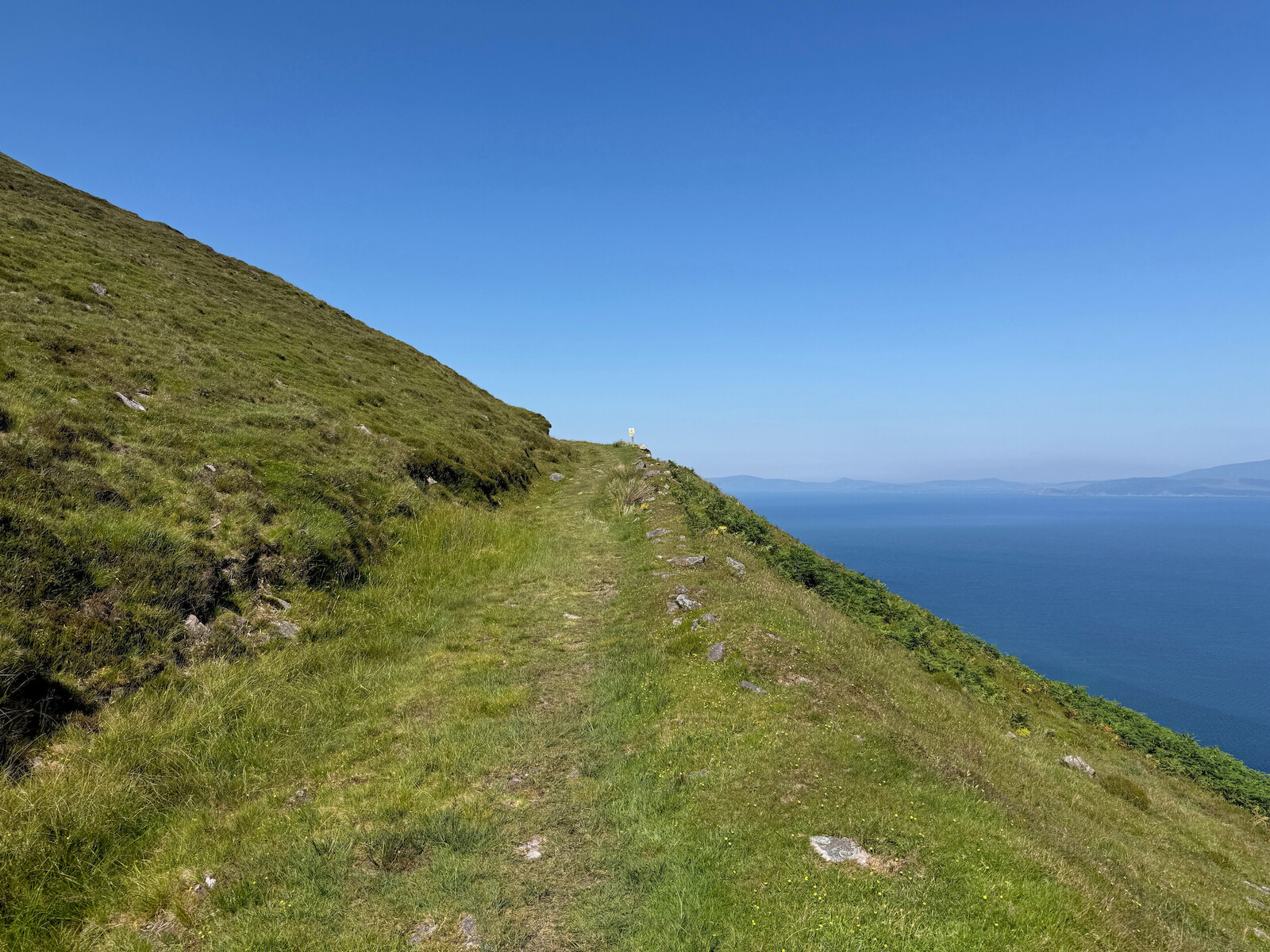
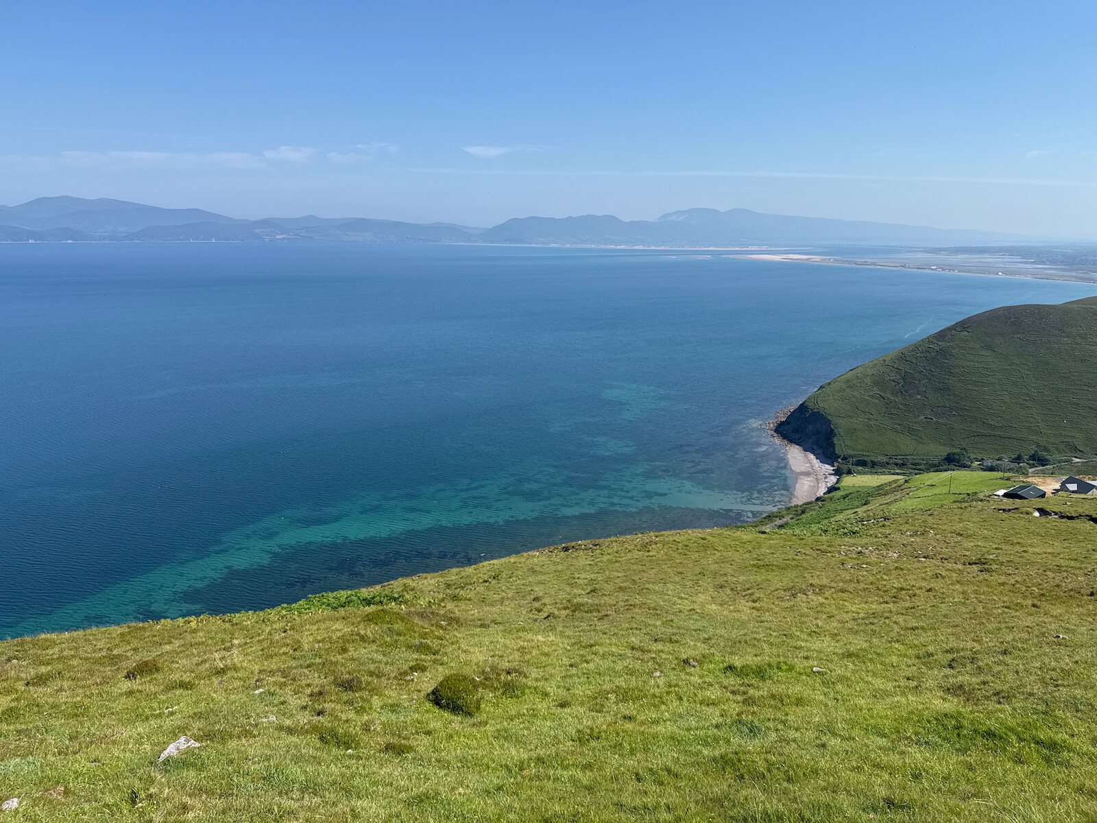
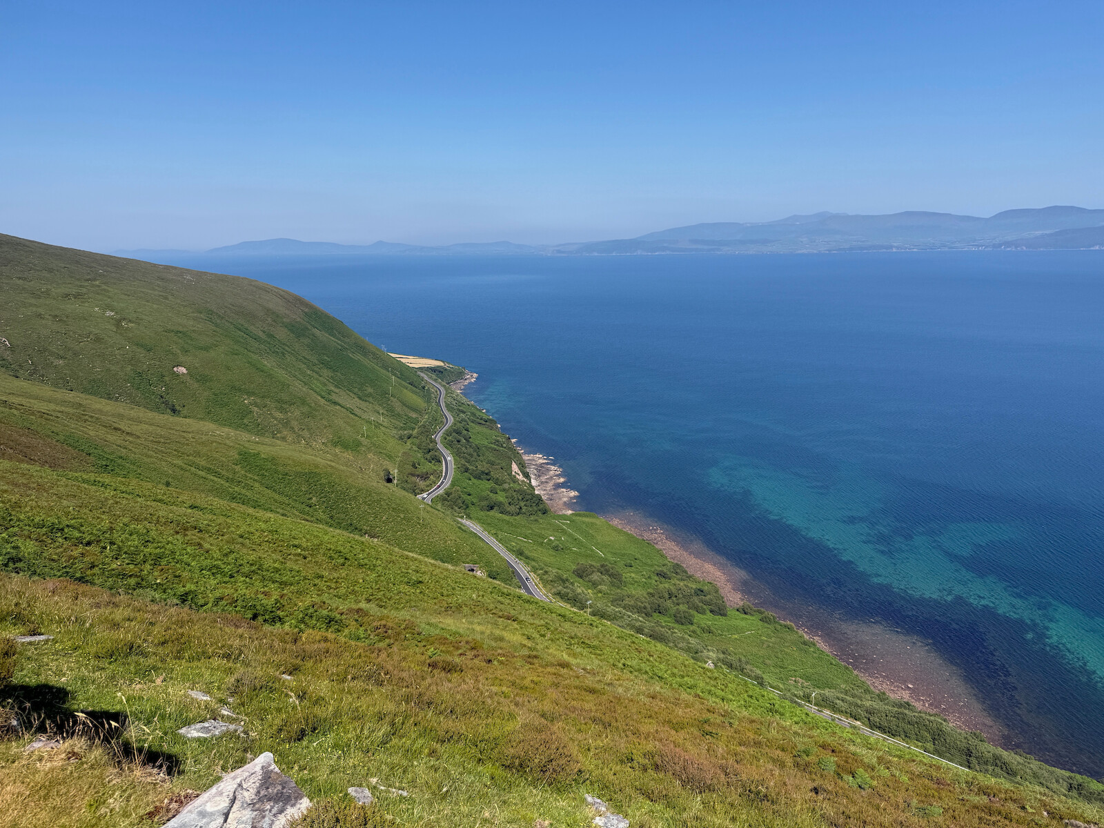
There’s a section of commercial forestry then a very long straight section on a old road. This walking reminded me of England. When the trail turns south it goes through a maze of fields and tracks over some ridges. This was lovely walking and I was by myself. However, it was very hot and no water.
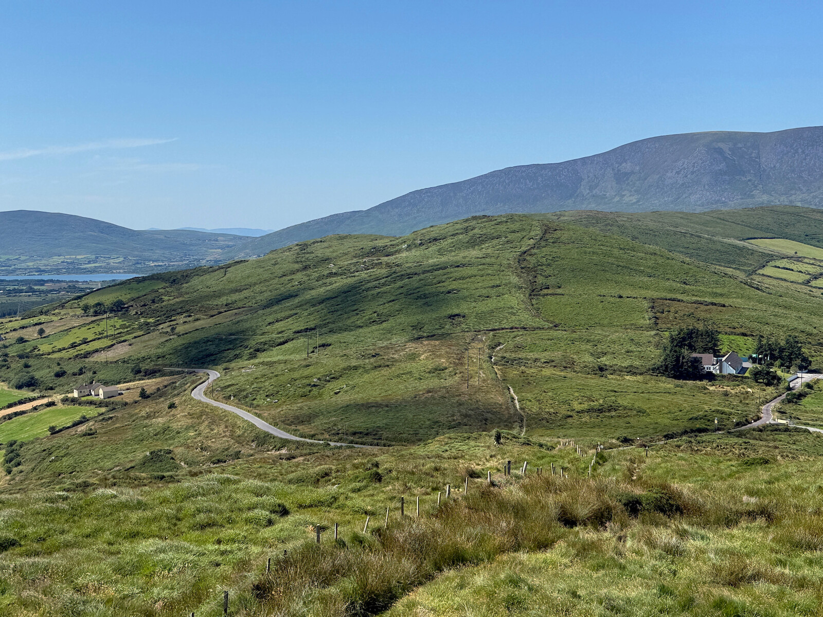
Dromid came with a warning about there being nothing in the area and to bring own food. Turned out that’s not the case - the shop sells food and the local pub sells beer. Top notch place to stay - quiet in the dorm and good facilities. This is in the dark sky reserve - reserve or not, people still had floodlights and streetlights. However, in a dark corner at 3am I saw 2 shooting stars.
Day 5 — Mon 13 Jul — Dromid → Caherdaniel
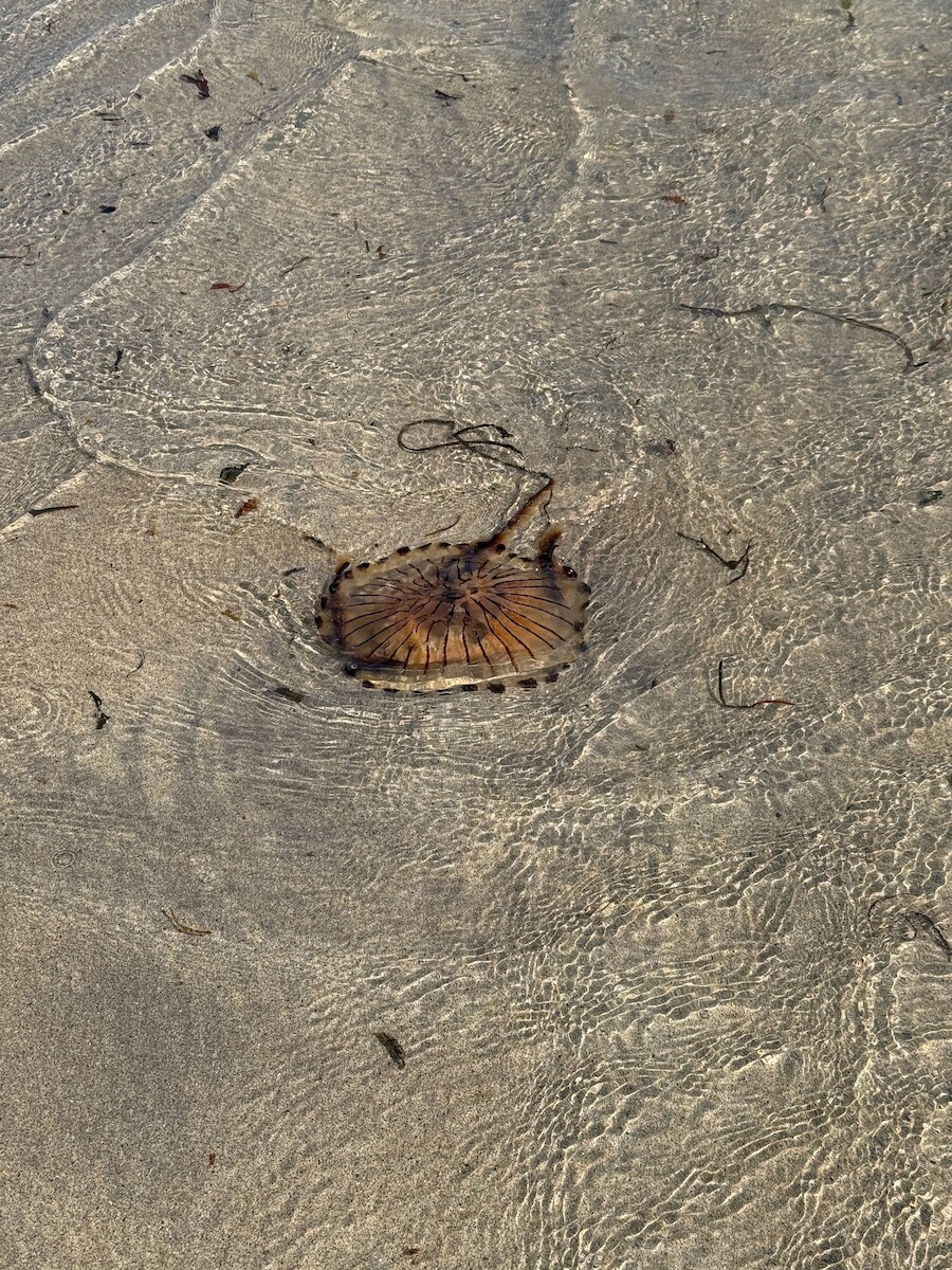
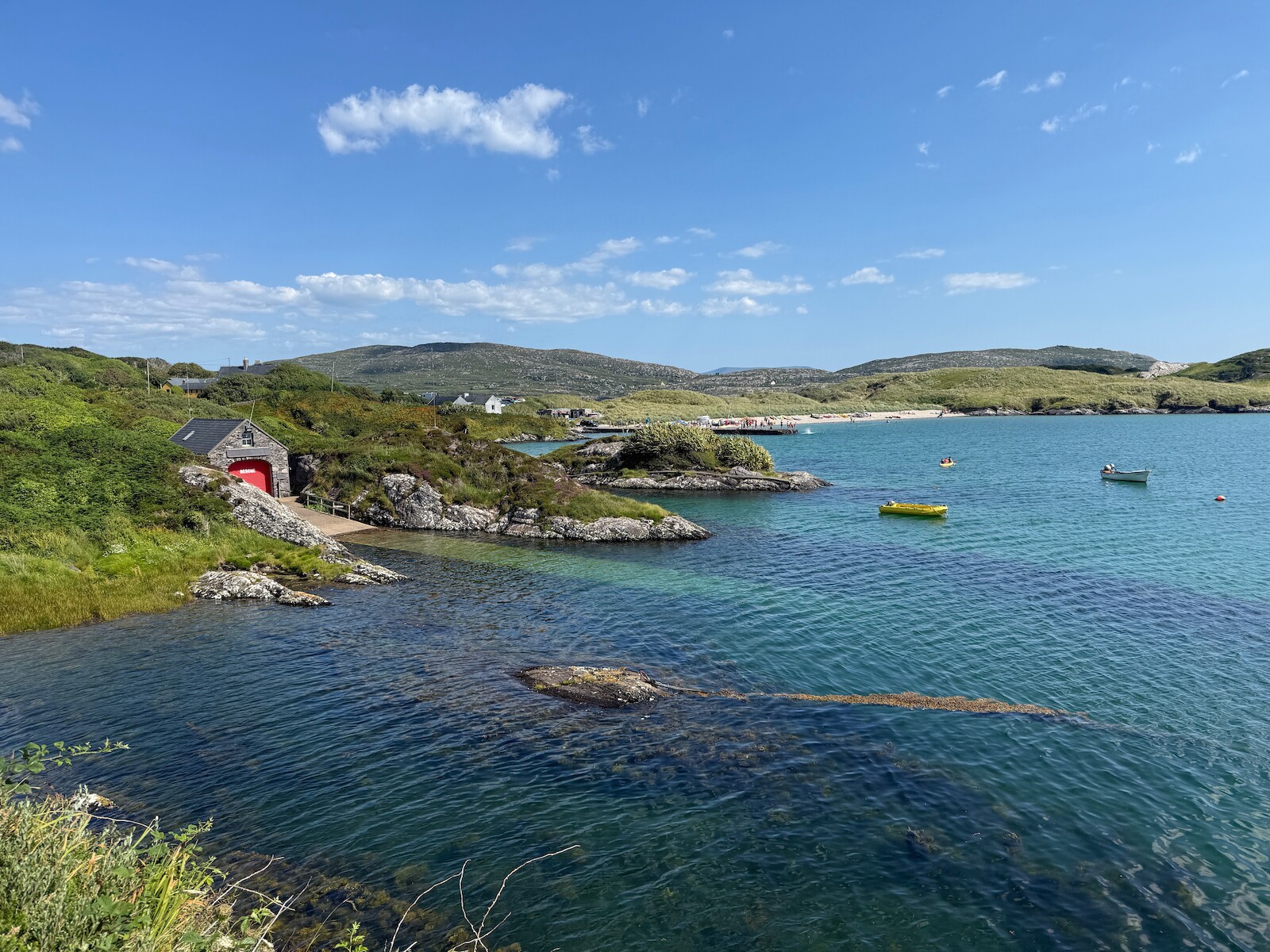
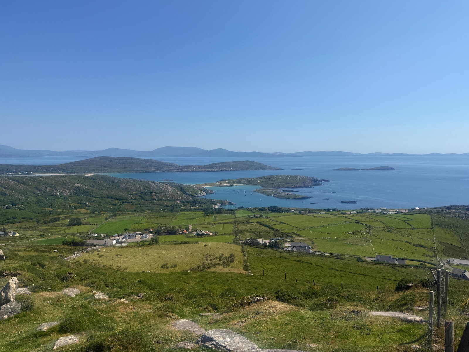
This was a lovely day. Its very rural from right outside the hostel. Path finding becomes tricky, and its a nice ridge walk. There’s peat cutting (but without a wooden spade) going on. Waterville is a reasonably sized place with shops, lunch and ice cream. There’s a bit of the n70, but it quickly turns into a quiet road and track. Once I crossed over the south west corner, the views become postcard pretty. The old mass path along the coast is nice, and I swum off Derrynane House. I didn’t see the toads or the house though - something to come back for.
I had dinner in the blind piper (excellent) and stayed at the old forge B and B down the N70. B and B was lovely but the N70 was alarming - you’d be better off in the kerry way rest.
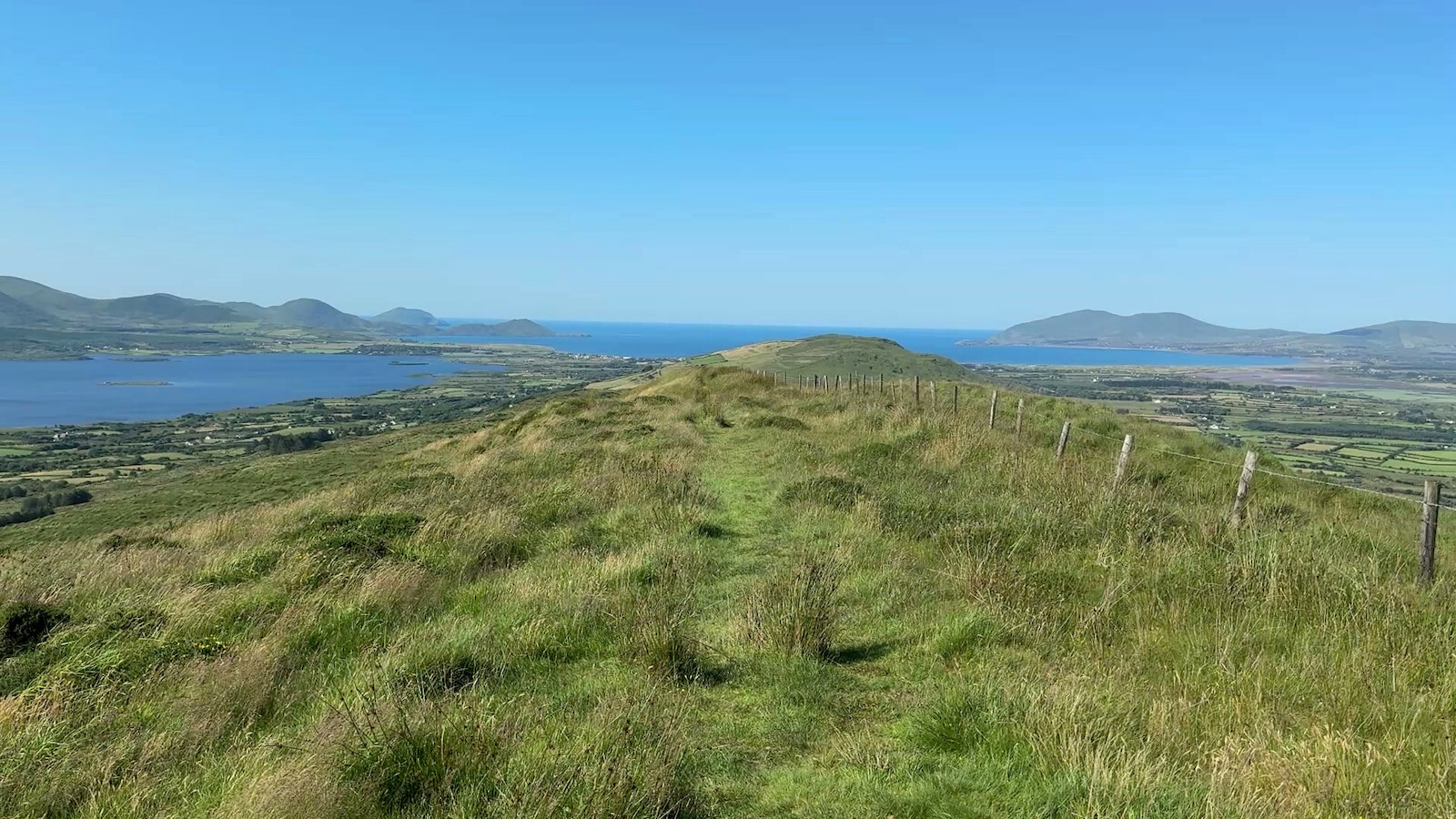
Day 6 — Tue 14 Jul — Caherdaniel → Sneem
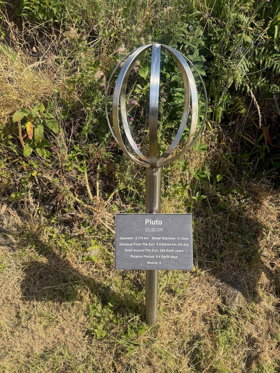
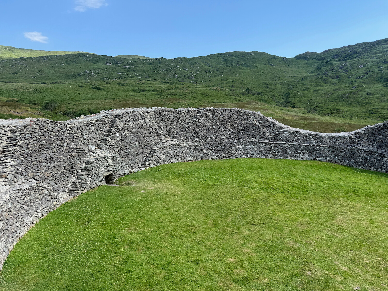
Once back off the N70 and on the trail, this is a lovely day. I walked the walk of the planets, and then visited Staigue fort: . This was recommended by a local farmer and was well worth the trip. Coming into Sneem, there were cattle on the trail, so I diverted around them. Sneem is lovely - De Gaulle visited in 1969 and its the most famous thing to have ever happened.
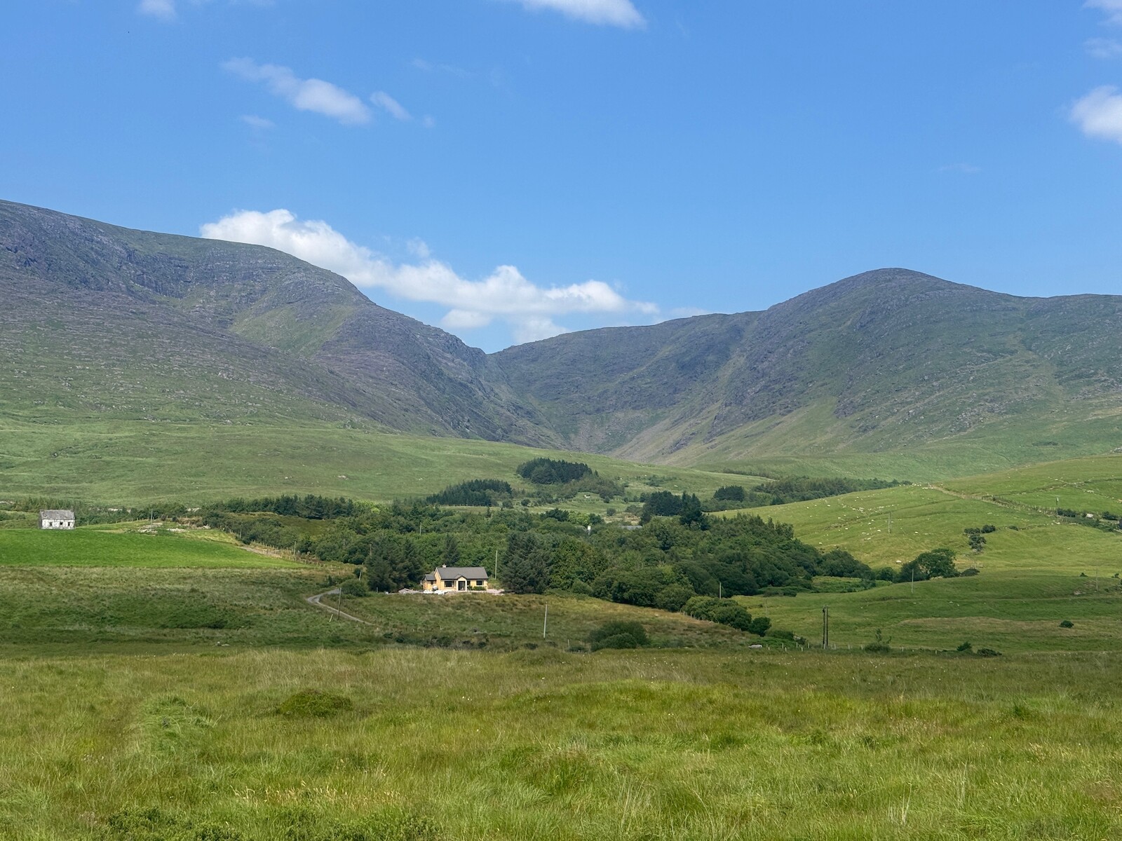
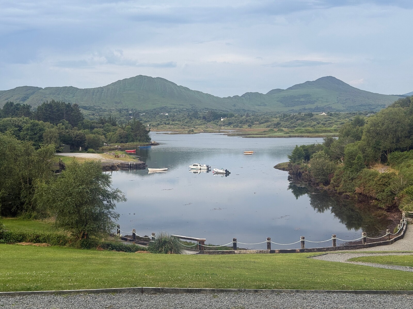
Day 7 — Wed 15 Jul — Sneem → Kenmare
This was again a pretty tough day, and also the only day when it tried to rain. There is a long section through old wood which is pretty nice, including an old pine wood by the water that reminded me of Norway. The end of the day features zome zigzagging up hill - I guess to keep the way off the N70 - which is pretty tiring in the heat. However, you get a great view into Kenmare and back out to sea. There was a constant sound of insects humming.
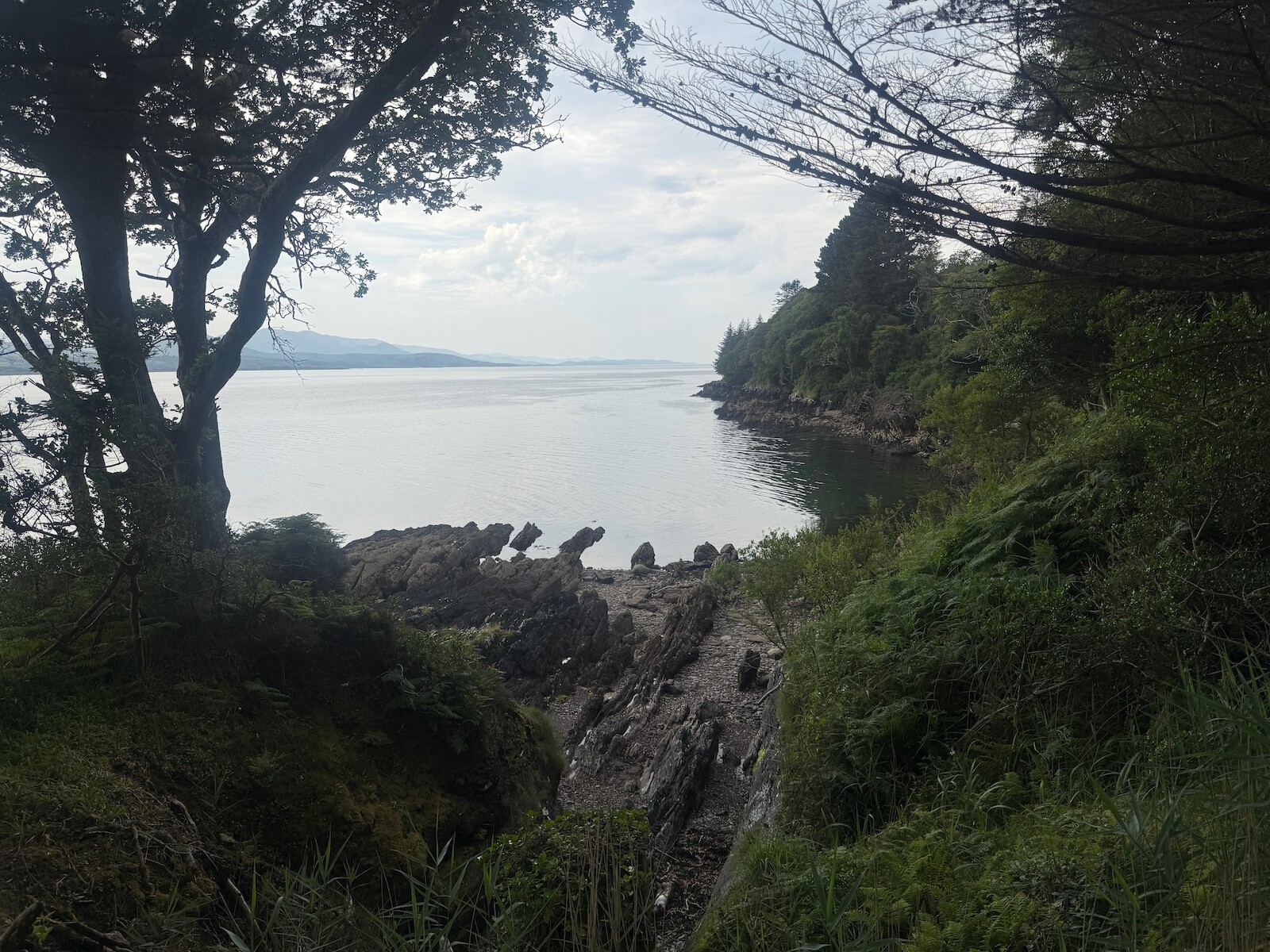
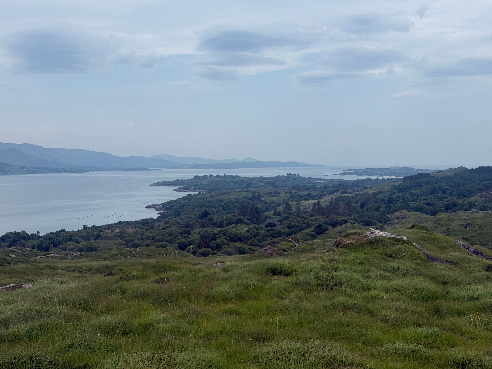
Day 8 — Thu 16 Jul — Kenmare → Killarney
The last day! I had been feeling my feet, so was glad to see the end. There had been fires in the national park so I was worried about it been closed. I started early, at 6:30 am, and made good time. The old road is a track for several km at the top. There was no one else around until I got to Torc Mountain. Very good trip.